Login

Forgot your login?

Cookies have to be accepted!
Your browser's cookie functionality is disabled. Please enable this functionality.

Not a member yet?

Register now
Login

Available for registred users only

Log in to use this feature.

Forgot your login?

Cookies have to be accepted!
Your browser's cookie functionality is disabled. Please enable this functionality.

Not a member yet?

Register now
Filter
Categories
Advanced filters
  • Distance (km)
  • Height
Save filters Reset filter

TrackRank

QRCode

Technical data

Distance4,2 km Height332 m Way down319 m Duration00:00 h:m Date07.10.2012
Scores Author Landscape Fun factor Fitness Technique

Statistics

1898 Views Scores 178 Downloads Average
Rate
  • Track data sheet
  • Directions
  • Downloads

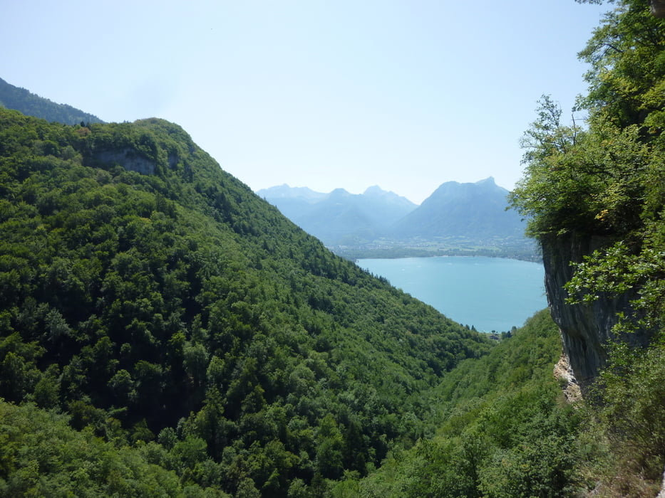
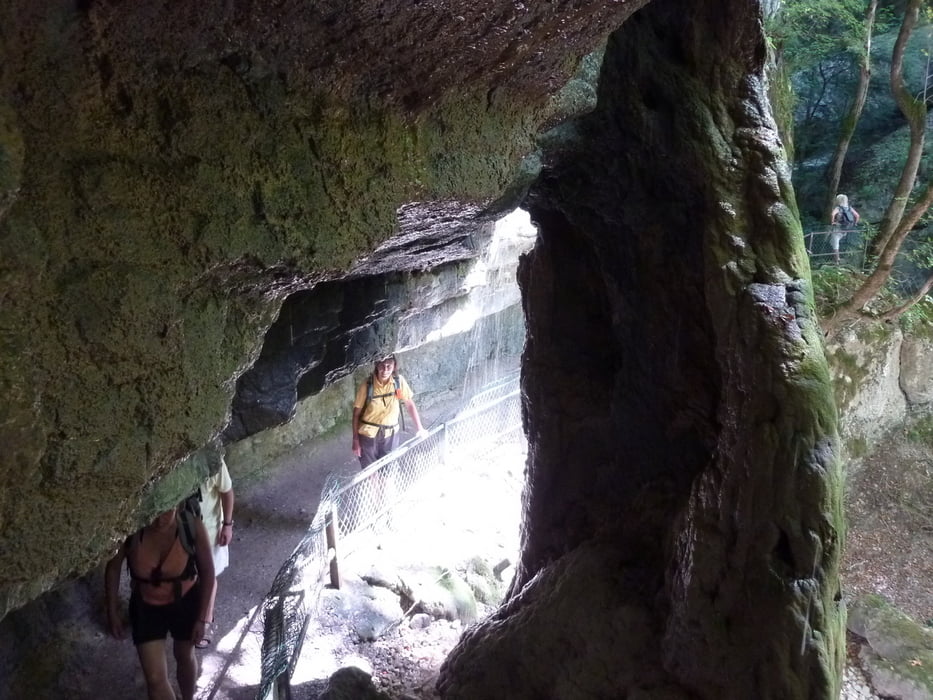
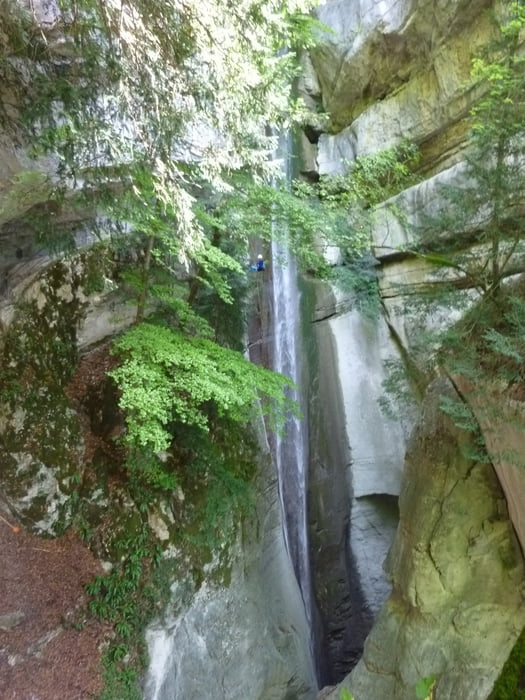
Schöne Wanderung für heiße Sommertage.

Denn hier am Wasserfall von Angon ist es gerade an heißen Tagen sehr angenehm.

Diese Tour findet man im Rother Wanderführer.


Hier sind auch immer wieder Wasserfallkletterer am Werk.


Viel Spass


Further information at

http://www.rother.de/titpage/4321.php

Tour gallery

Tour map and elevation profile

  • Open Street Map
  • Google
Minimum height 452 m Maximum height 776 m Detailed view

More about the tour author

Tom19
Member since 2008

Send private message

Comments

siehe Daten


GPS tracks

Trackpoints
  • GPX / Garmin Map Source (gpx) download
  • TCX / Garmin Training Center® (tcx) download
  • CRS / Garmin Training Center® (crs) download
  • Google Earth (kml) download
  • G7ToWin (g7t) download
  • TTQV (trk) download
  • Overlay (ovl) download
  • Fugawi (txt) download
  • Kompass (DAV) Track (tk) download
  • Track data sheet (pdf) download
  • Original file of the author (gpx) download

More about the tour author

Tom19
Member since 2008

Send private message
Share track
Add to my favorites
Remove from my favorites
Edit tags
My score
Rate
Track: Cascade d´Angon
Type: Hiking
Distance: 4,2 km
Evaluated on:
Duration:
Day(s)
Hour(s)
Minute(s)
Score: Landscape Fun factor Fitness Technique