Login

Forgot your login?

Cookies have to be accepted!
Your browser's cookie functionality is disabled. Please enable this functionality.

Not a member yet?

Register now
Login

Available for registred users only

Log in to use this feature.

Forgot your login?

Cookies have to be accepted!
Your browser's cookie functionality is disabled. Please enable this functionality.

Not a member yet?

Register now
Filter
Categories
Advanced filters
  • Distance (km)
  • Height
Save filters Reset filter

TrackRank

QRCode

Technical data

Distance124,4 km Height2493 m Way down2502 m Duration06:50 h:m Date07.10.2012
Scores Author Landscape Fun factor Fitness Technique

Statistics

1028 Views Scores 102 Downloads Average
Rate
  • Track data sheet
  • Directions
  • Downloads
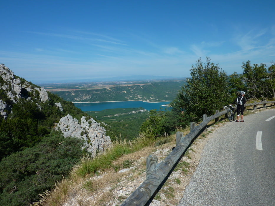
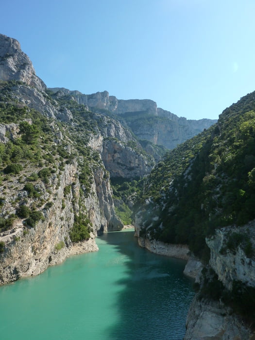
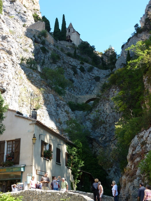
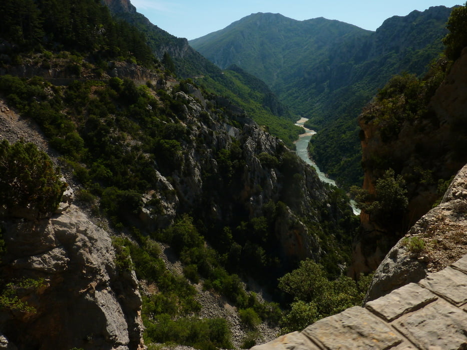
Comp-sur-Auturby , Balcon de Mescla, Pont de Artuby, Fayetttunnel, Col de I`Lloire, Galetasbrücke, Moustiers, Kreuzung "Georges du Verdun", La Palude-sur-Verdun, Abzweiger Kamm Ringstraße ( Achtung wir sind Lt. Tourenbeschreibung in der falschen Richtung unterwegs gewesen, hat aber keinen interresiert), Collet  Barris, La Palude - Soleils, Jabron, Comps-sur- Artuby.

Tour gallery

Tour map and elevation profile

  • Open Street Map
  • Google
Minimum height 497 m Maximum height 1314 m Detailed view

More about the tour author

markus-w
Member since 2010

Send private message

Comments

Route de Napoleon, Comps-sur-Artuby, 

GPS tracks

Trackpoints
  • GPX / Garmin Map Source (gpx) download
  • TCX / Garmin Training Center® (tcx) download
  • CRS / Garmin Training Center® (crs) download
  • Google Earth (kml) download
  • G7ToWin (g7t) download
  • TTQV (trk) download
  • Overlay (ovl) download
  • Fugawi (txt) download
  • Kompass (DAV) Track (tk) download
  • Track data sheet (pdf) download
  • Original file of the author (gpx) download

More about the tour author

markus-w
Member since 2010

Send private message
Share track
Add to my favorites
Remove from my favorites
Edit tags
My score
Rate
Track: Um den Grand Canyon du Verdon
Type: Road biking
Distance: 124,4 km
Evaluated on:
Duration:
Day(s)
Hour(s)
Minute(s)
Score: Landscape Fun factor Fitness Technique