


Start in der Falkenstraße, durch die Stadt und über den Kulturbahnhof auf den Radweg nach Anschlag, an der Brücke links hinunter und weiter (re.) durch den Wald bis zur L 284 Ri. Anschlag bis zum Abzweig Kückelhausen nach li., weiter auf Asphaltstraße, nach ca. 1000m nach li. in den Wald, hinunter, 2 x nach re. und dann hinauf auf die Asphaltstraße Ri. Schulten Hedfeld, an der Kreuzung hinunter zur Schanzmannsmühle, nach ca. 300 m nach li.Ri. Giersiepen, weiter über den Feldweg Ri. Borkshof und dann über Schlachtenrade hoch zum Abzweig nach Voswinkel, hier nach li. Ri. Rönsahl, nach re. in den Wald hinunter nach Böswipper, auf den Radweg Ri. Wipperfürth bis Neyesiedlung und weiter zur Neye-Talsperre, an der Arm-Seite weiter, erst Ri. Kreuzberg, dann nach li. und wieder re. Ri. Forste, weiter über Vorst und das Ennepetal nach Hause.
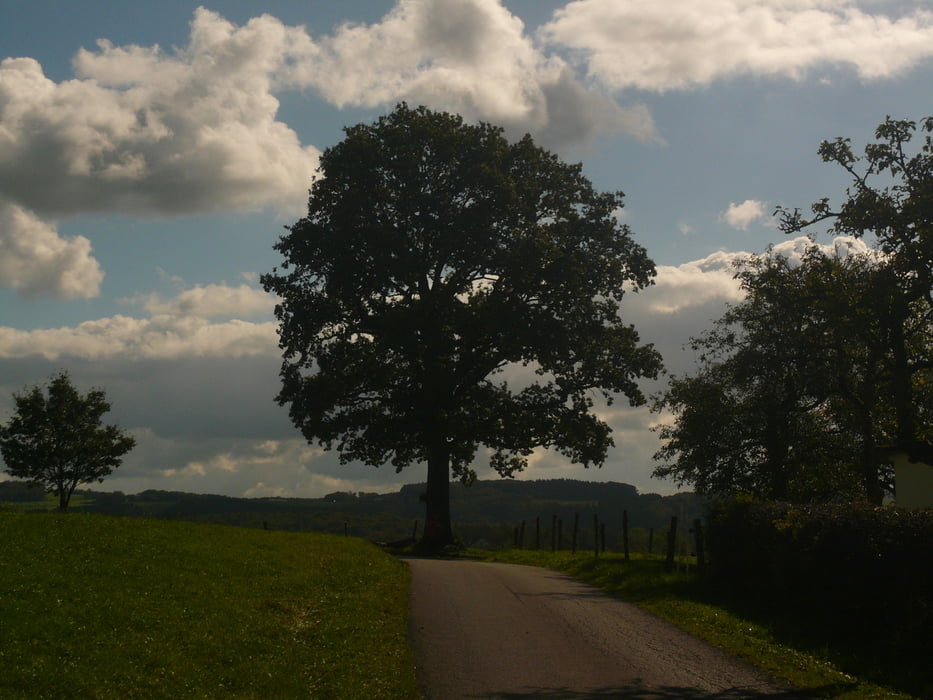
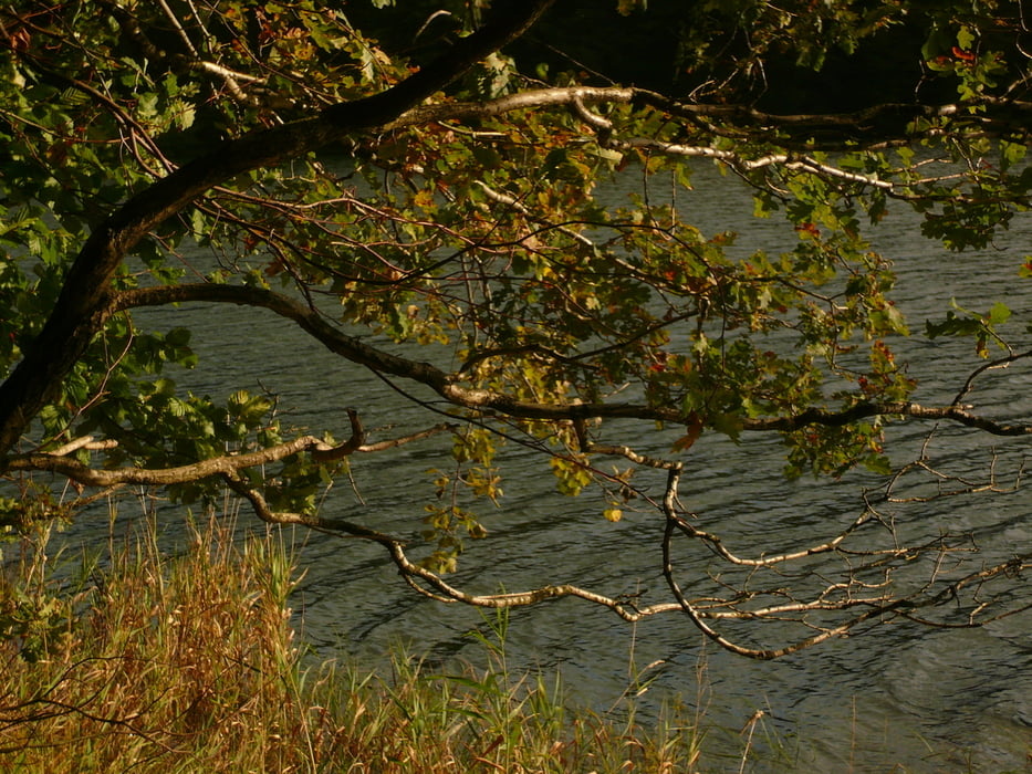
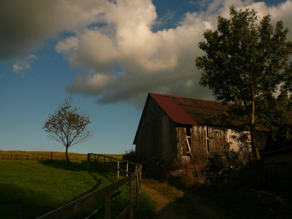
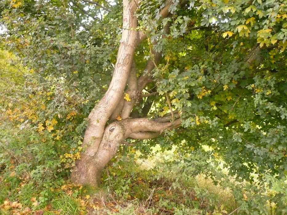
Mal wieder bei tollen äüßeren Bedingungen ins Rheinland; der Herbst hat schon zugeschlagen, alles ist bunt und die Wolken malen schöne Bilder in den Himmel.
Tour gallery


Tour map and elevation profile
Minimum height 275 m
Maximum height 430 m
More about the tour author
|
|
neuser |
Comments

GPS tracks
Trackpoints-
GPX / Garmin Map Source (gpx) download
-
TCX / Garmin Training Center® (tcx) download
-
CRS / Garmin Training Center® (crs) download
-
Google Earth (kml) download
-
G7ToWin (g7t) download
-
TTQV (trk) download
-
Overlay (ovl) download
-
Fugawi (txt) download
-
Kompass (DAV) Track (tk) download
-
Track data sheet (pdf) download
-
Original file of the author (gpx) download
More about the tour author
|
|
neuser |
Add to my favorites
Remove from my favorites
Edit tags
Open track
My score
Rate