


Diese Tour ohne "Liftbenutzung" auf ganzer Strecke
1 Tag: Wolkenstein - Canazei (ca. 60km, 2600Hm), teilweise sehr steile Auffahrten
Startpunkt Wolkenstein (ca. Eisstadion);
> über Forstweg und Pfad bergauf zum Grödnerjoch;
> Abfahrt nach Corvara (unteren Teil ab Autoparkplatz auf Asphalt wegen technischen Defekts), ansonsten Trail folgen beim Autoparkplatz bis Corvara;
> ab Corvara bergauf (Strada Arlara) - Rifugio "Ütia de Bioch" - Passo Incisa - Arabba;
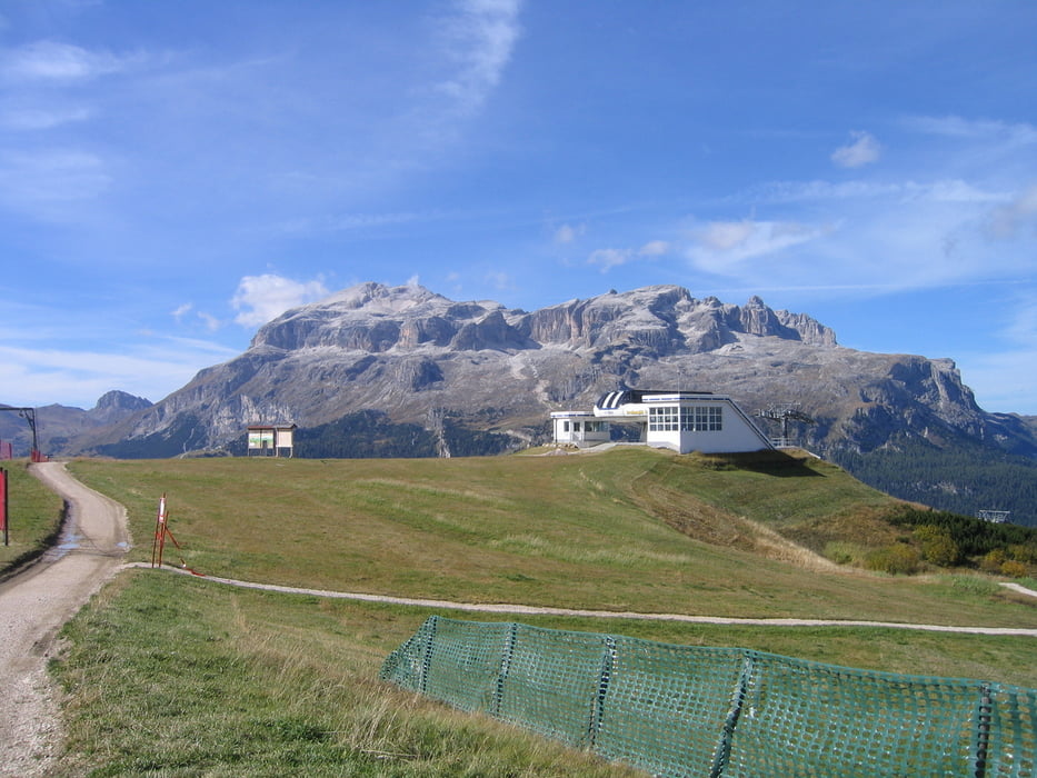
> Arabba - Ornella - Bindelweg - Passo Pordoi - Canazei;
2 Tag Canazei - Wolkenstein (ca. 43 km, 2000Hm), teilweise sehr steile Auffahrten, Tragepassage nach Tirler Alpe
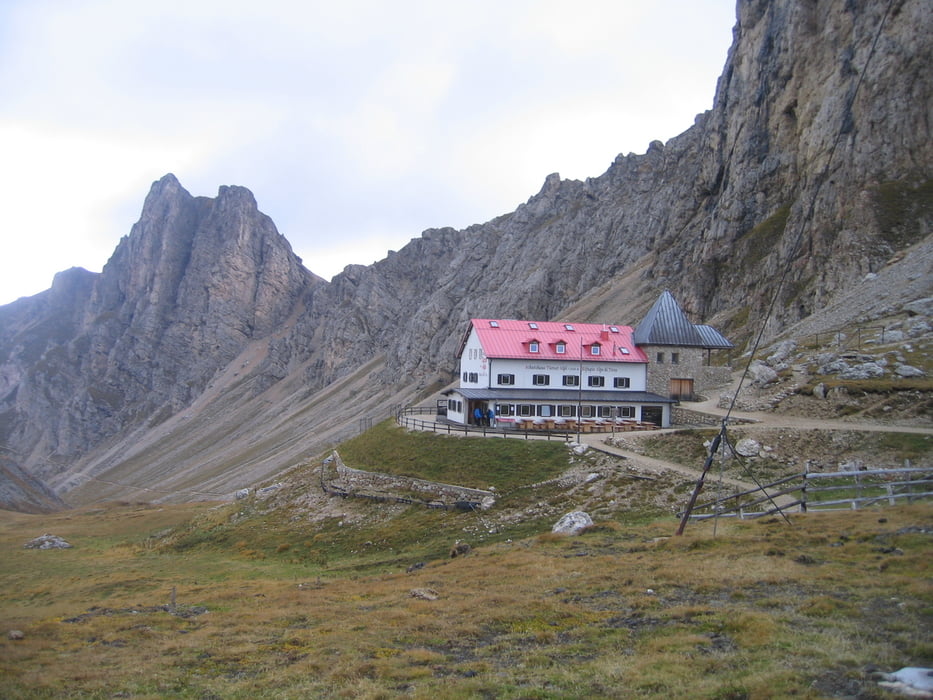
> Canazei - Passo Duron - Rifugio Alpe di Tires - Richtung Schlernhaus - Touristensteig - Saltner Hütte - Saltria (Alpenhotel Panorama)
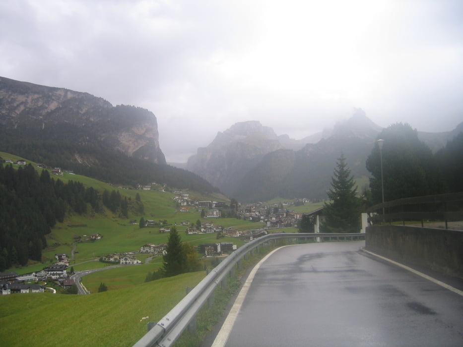
> Saltria - Ciaslat - Wolkenstein
Tour gallery
Tour map and elevation profile
Minimum height 1393 m
Maximum height 2574 m
More about the tour author

|
letschkov |
Comments

Startpunkt Wolkenstein; Pension Zenit (Nähe Eisstadion);
GPS tracks
Trackpoints-
GPX / Garmin Map Source (gpx) download
-
TCX / Garmin Training Center® (tcx) download
-
CRS / Garmin Training Center® (crs) download
-
Google Earth (kml) download
-
G7ToWin (g7t) download
-
TTQV (trk) download
-
Overlay (ovl) download
-
Fugawi (txt) download
-
Kompass (DAV) Track (tk) download
-
Track data sheet (pdf) download
-
Original file of the author (gpx) download
More about the tour author
|
|
letschkov |
Add to my favorites
Remove from my favorites
Edit tags
Open track
My score
Rate