


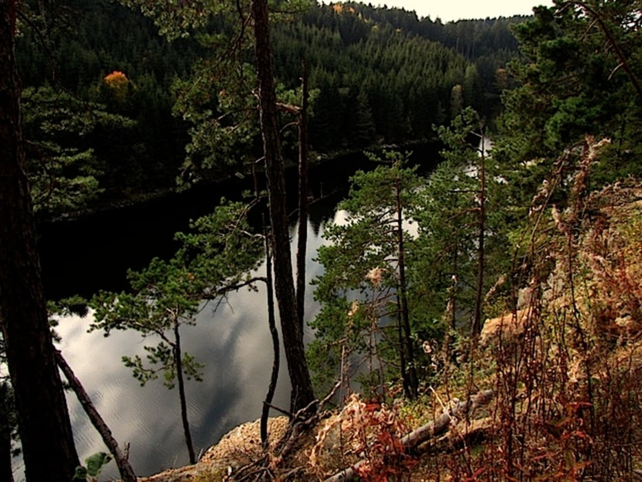
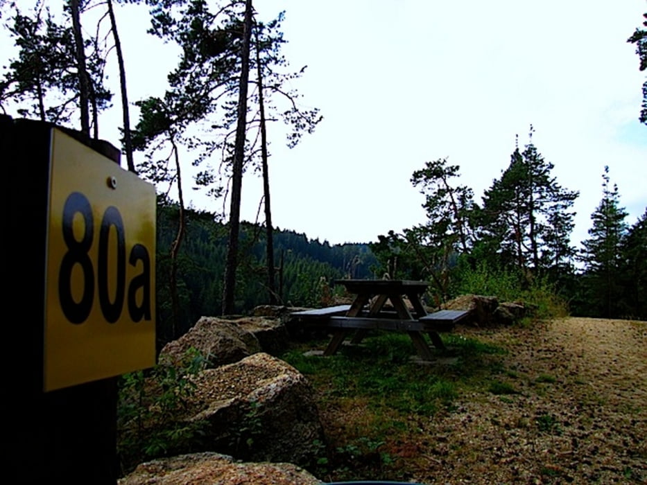
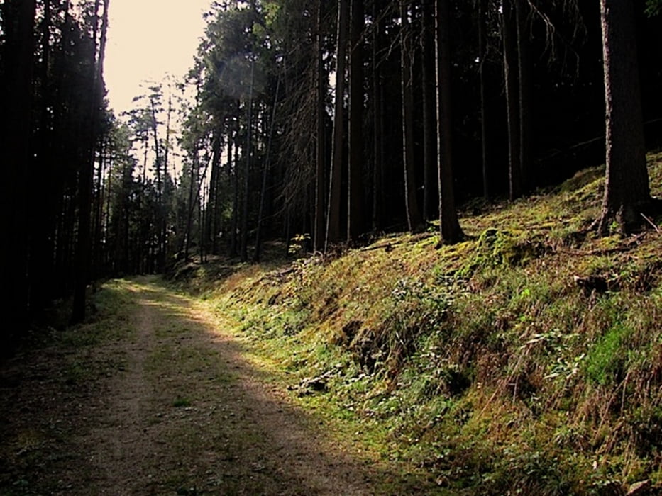
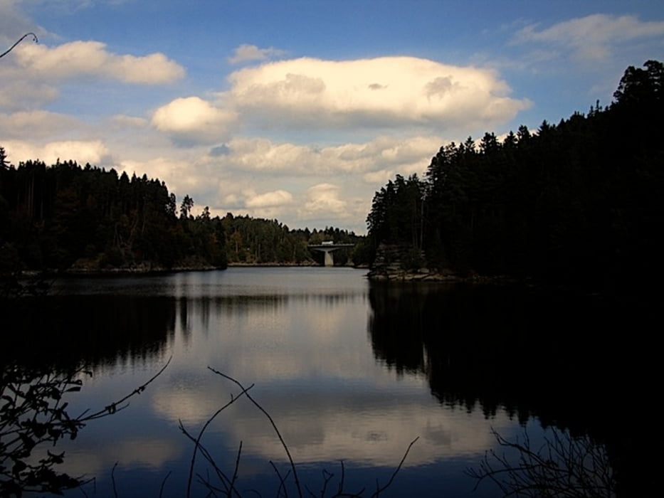
Wir starten diesmal beim Parkplatz direkt an der Purzelkampbrücke und wandern flussaufwärts bis zur Prader Jagdhütte. Hier biegen wir scharf nach links ab und folgen etwa 100 Meter weiter dem rechts abzweigenden Waldweg mit der Markierung 80a Richtung Rueßbucht. Von dort wandern wir den gleichen Weg zurück.
Mehr Info und Deine Meinung in meinem Wanderblog - schau doch mal vorbei!
Karten:
Austria Map Ost (BEV)
Wander-, Rad- und Freizeitkarte WK072 1:50.000, herausgegeben von Freytag & Berndt
Further information at
http://www.zwalk.at/der-purzelkamp-zwischen-ruesbucht-und-kampbrucke/Tour gallery
Tour map and elevation profile
Minimum height 501 m
Maximum height 530 m
More about the tour author
|
|
Jonny |
Comments

Per Auto
• nördlich Waidhofen/Thaya Richtung Vitis Kreisverkehr und weiter nach Zwettl, Richtung Rastenfeld Stauseebrücke
• östlich von Krems Richtung Zwettl, Richtung Rastenfeld Stauseebrücke
• westlich von Groß Gerungs bis nach Zwettl, Richtung Rastenfeld Stauseebrücke
• südlich Westautobahn A1 Abfahrt Ybbs, Würnsdorf, Ottenschlag, in Grafenschlag rechts Richtung Kaltenbrunn, Kleinweißenbach, Königsbach, Waldhausen, Brand, Rastenberg, Rastenfeld, Richtung Zwettl Stauseebrücke
GPS tracks
Trackpoints-
GPX / Garmin Map Source (gpx) download
-
TCX / Garmin Training Center® (tcx) download
-
CRS / Garmin Training Center® (crs) download
-
Google Earth (kml) download
-
G7ToWin (g7t) download
-
TTQV (trk) download
-
Overlay (ovl) download
-
Fugawi (txt) download
-
Kompass (DAV) Track (tk) download
-
Track data sheet (pdf) download
-
Original file of the author (gpx) download
More about the tour author
|
|
Jonny |
Add to my favorites
Remove from my favorites
Edit tags
Open track
My score
Rate