


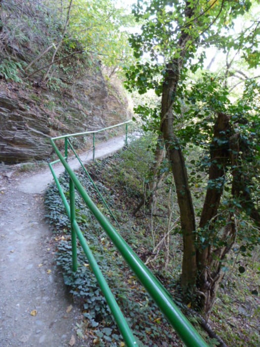
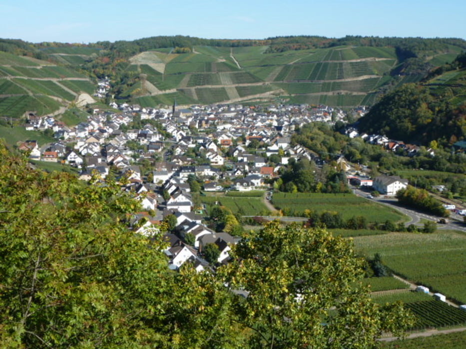
Der allseits beliebte Wanderweg durch die Weinberge des Ahrtales.
Los ging es diesmal in Altenahr. Immer dem Zeichen des Rotweinwanderweges nach (rote Traube) gelangt man automatisch nach Ahrweiler. Für Wanderer, die nicht so gut zu Fuß sind, sind auch kleinere Etappen zu empfehlen. Zum Beispiel: Abstieg nach Rech, Dernau oder Walportsheim.
Ich bin durchgewandert bis Ahrweiler, habe mir auf dem Kirchplatz einen Roten und ein Stück Zwiebelkuchen genehmigt, und bin dann mit dem Regionalzug wieder zurück nach Altenahr gefahren. Abfahrt des Zuges in Ahrweiler Markt stündlich zur halben Stunde (kurz vor oder kurz nach halb)
Tour gallery


Tour map and elevation profile
Minimum height 105 m
Maximum height 310 m
More about the tour author
|
|
radenberger |
Comments

GPS tracks
Trackpoints-
GPX / Garmin Map Source (gpx) download
-
TCX / Garmin Training Center® (tcx) download
-
CRS / Garmin Training Center® (crs) download
-
Google Earth (kml) download
-
G7ToWin (g7t) download
-
TTQV (trk) download
-
Overlay (ovl) download
-
Fugawi (txt) download
-
Kompass (DAV) Track (tk) download
-
Track data sheet (pdf) download
-
Original file of the author (gpx) download
More about the tour author
|
|
radenberger |
Add to my favorites
Remove from my favorites
Edit tags
Open track
My score
Rate