


Vatertagstour 2012 mit Sohnemann war angesagt.
Das Auto haben wir auf einem Supermarktparkplatz (Feiertag) in Ahrweiler in der Nähe des Bahnhofs geparkt und dann erst mit dem Regiozug nach Altenahr gefahren.
Da der Ahrsteig noch nicht offiziell eröffnet war, gab es auch keine Beschilderung. Über einen freundlichen Herrn von der Ahr hatte ich die Route bekommen.
Also Tour runterladen und einfach nachlaufen. Die Teufelsley haben wir nicht überquert, wir sind zum Hangweg wieder zurück gegangen. Sohnemann ist auf die Felsen gegangen, mir war´s zu heftig.
Aber ansonsten alles ungefährlich
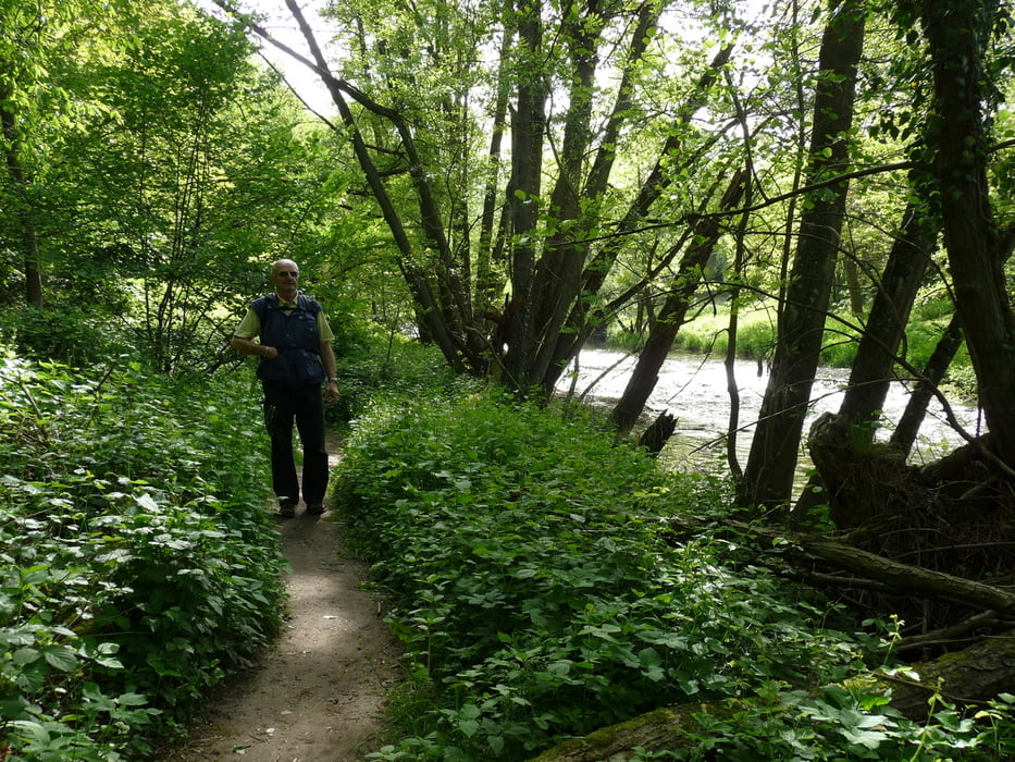
Tour gallery


Tour map and elevation profile
Minimum height 92 m
Maximum height 388 m
More about the tour author
|
|
radenberger |
Comments

GPS tracks
Trackpoints-
GPX / Garmin Map Source (gpx) download
-
TCX / Garmin Training Center® (tcx) download
-
CRS / Garmin Training Center® (crs) download
-
Google Earth (kml) download
-
G7ToWin (g7t) download
-
TTQV (trk) download
-
Overlay (ovl) download
-
Fugawi (txt) download
-
Kompass (DAV) Track (tk) download
-
Track data sheet (pdf) download
-
Original file of the author (gpx) download
More about the tour author
|
|
radenberger |
Add to my favorites
Remove from my favorites
Edit tags
Open track
My score
Rate