


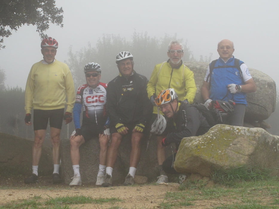
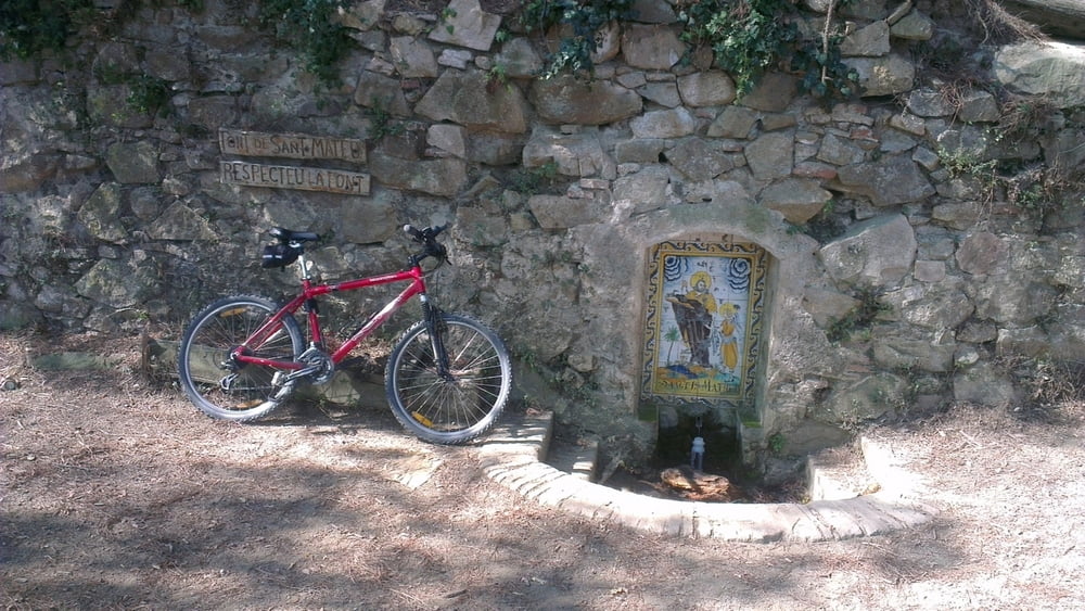
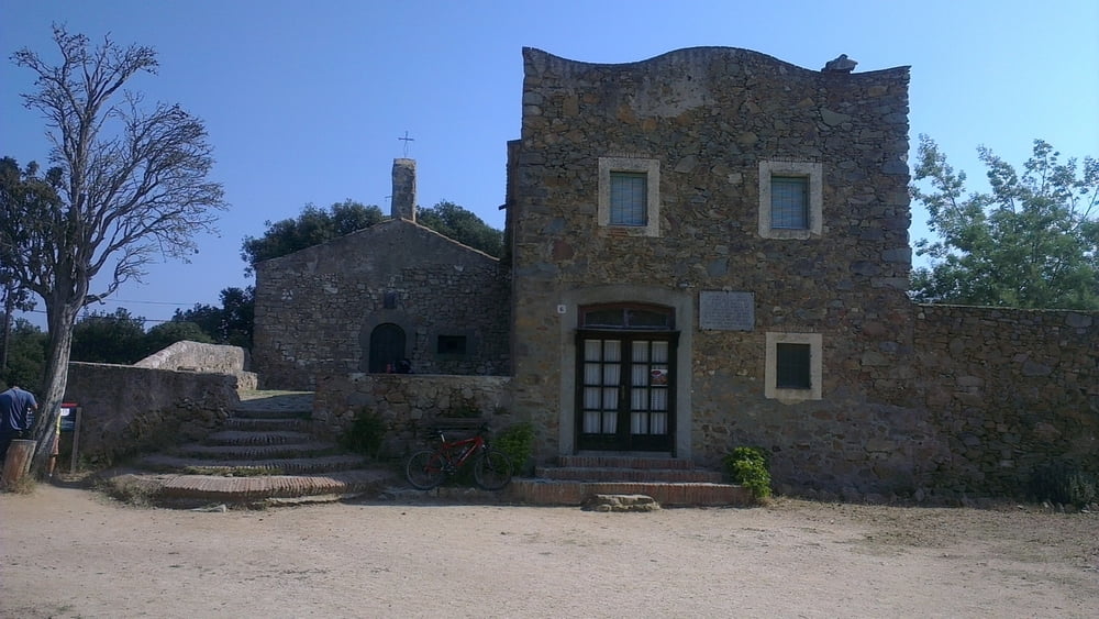
Salida del pueblo de Cabrils. Subida a la mutua por pista con pavimento. Descenso por camino de tierra al pueblo de Orrius. Por carretera de bajo trafico y en dirección La Roca, se desvia a la izquierda por camino de tierra y vemos la primera hermita de Sant Bartomeu. Dolmen Roca d'en Toni. Fuente de Sant Mateu. Hermita de Sant Mateu. Fuerte descenso a Premia de Dalt, pasando por el mirador La Cadira del Bisba. Hermita de la Cisa, con bar y restaurante. Vilasar de Dalt y regreso a Cabrils.
Tour gallery
Tour map and elevation profile
Minimum height 101 m
Maximum height 501 m
More about the tour author

|
epasquin |
Comments

GPS tracks
Trackpoints-
GPX / Garmin Map Source (gpx) download
-
TCX / Garmin Training Center® (tcx) download
-
CRS / Garmin Training Center® (crs) download
-
Google Earth (kml) download
-
G7ToWin (g7t) download
-
TTQV (trk) download
-
Overlay (ovl) download
-
Fugawi (txt) download
-
Kompass (DAV) Track (tk) download
-
Track data sheet (pdf) download
-
Original file of the author (gpx) download
More about the tour author
|
|
epasquin |
Add to my favorites
Remove from my favorites
Edit tags
Open track
My score
Rate