


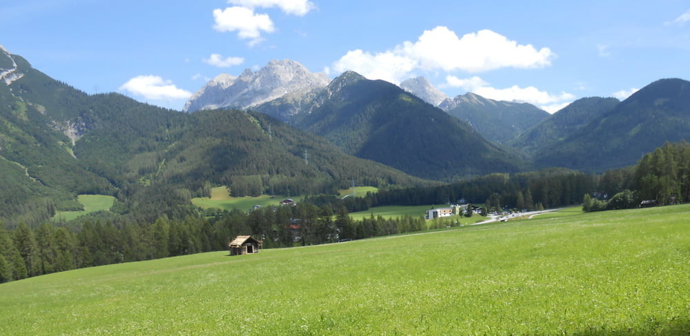
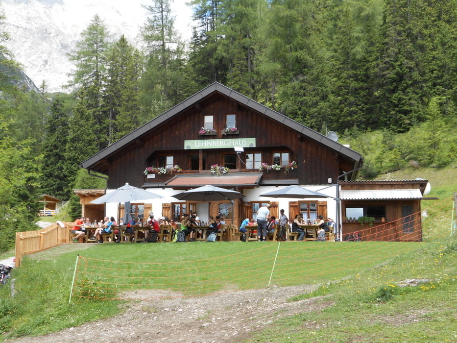
Start in Imst (Parkplatz Polizei). Durch die Stadt zum Radweg (Gurgtal) am Rofen. Am Tschirgant entlang Richtung Tarrenz, Nassereith. Vorbei an der Knappenwelt, Strad durch den Wald bis zum Schotterwerk in Nassereith. Hier rechts halten und unter der Bundesstrasse hindurch. Im Wald noch rechts Abzweigen und über die Felder nach Dormitz. Weiter zum Campingplatz und auf der alten Holzleitenstrasse nach Holzleiten. Über Weisland nach Arzkasten. Nun auf dem Forstweg bis zum Lehnberghaus.
Zurück bis Arzkasten wie Auffahrt oder beim Lehnberghaus auf Steig (Tragestrecke) zum Sturlbach hinunter. Die ersten paar hundert Meter noch auf Steig (teilweise fahrbahr) dann kann man es bis Arzkasten rollen lassen. Über den Seniorenweg nach Aschland, Roßbach, Nassereith.
Durchs Gurgltal zurück nach Imst.
Tour gallery
Tour map and elevation profile
Minimum height 730 m
Maximum height 1558 m
More about the tour author
|
|
simplon73 |
Comments

GPS tracks
Trackpoints-
GPX / Garmin Map Source (gpx) download
-
TCX / Garmin Training Center® (tcx) download
-
CRS / Garmin Training Center® (crs) download
-
Google Earth (kml) download
-
G7ToWin (g7t) download
-
TTQV (trk) download
-
Overlay (ovl) download
-
Fugawi (txt) download
-
Kompass (DAV) Track (tk) download
-
Track data sheet (pdf) download
-
Original file of the author (gpx) download
More about the tour author
|
|
simplon73 |
Add to my favorites
Remove from my favorites
Edit tags
Open track
My score
Rate