


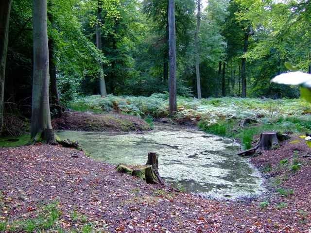
Really nice Mountainbike Tour in the Chiltern Hills just north of Henley on Thames.
The Track file also includes the approach from Oxford via low traffic country roads. The real MTB-part is the loop, which can be followed clockwise as well as counter clockwise. The approch is about 40 km, the loop itself about 50km.
If you follow the path clockwise as I have, you might find the waypoints I'vd included helpfull. They mark positions where its slightly difficult to find the correct path.
Overall probably the best MTB-route you can find in the Oxford area.
Further information at
http://www.chilternsaonb.org/Tour gallery
Tour map and elevation profile
Minimum height 52 m
Maximum height 248 m
More about the tour author

|
Comments

Starts at Palladian Court off Cowley Road. Turn off A4142 (Eastern Bypass Road) at the Mini Plant.
Alternatively if you only want to ride the loop, use M40 and turn off at junction to B4009 (Watlington, Chinnor)
Alternatively if you only want to ride the loop, use M40 and turn off at junction to B4009 (Watlington, Chinnor)
GPS tracks
Trackpoints-
GPX / Garmin Map Source (gpx) download
-
TCX / Garmin Training Center® (tcx) download
-
CRS / Garmin Training Center® (crs) download
-
Google Earth (kml) download
-
G7ToWin (g7t) download
-
TTQV (trk) download
-
Overlay (ovl) download
-
Fugawi (txt) download
-
Kompass (DAV) Track (tk) download
-
Track data sheet (pdf) download
-
Original file of the author (gpx) download
More about the tour author
|
|
Add to my favorites
Remove from my favorites
Edit tags
Open track
My score
Rate