

Ausgangspunkt war für uns wieder die Agricultura L´Ariete. Gefahren im Uhrzeigersinn.
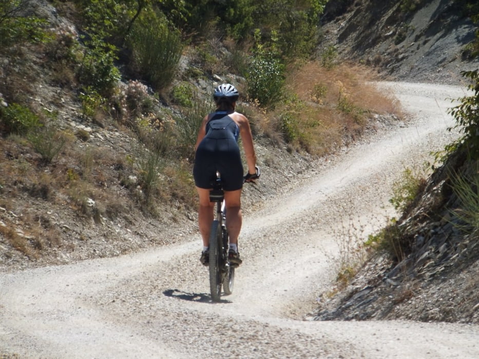
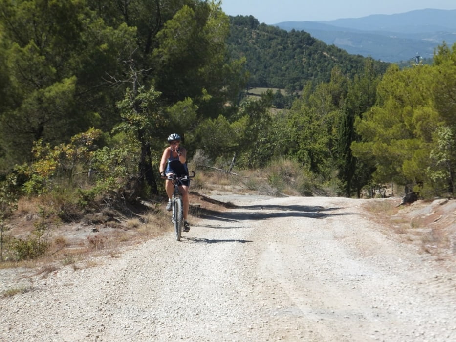
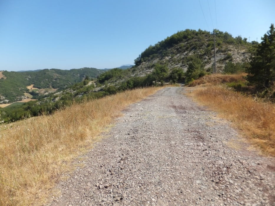
Los ging es gleich mit einem knackigen Anstieg über Asphalt. Weiter dann über Schotter ins Hinterland. Wunderbare Landschaft - aber keine Tankstelle für Wasser. Achtung bei km 12,5 sind wir falsch gefahren und mußten wieder zurück. Danach ging es über Schotter und Asphalt nach Umbertide - Espressopause - danach zurück zu unserem Ausgangspunkt.
Los ging es gleich mit einem knackigen Anstieg über Asphalt. Weiter dann über Schotter ins Hinterland. Wunderbare Landschaft - aber keine Tankstelle für Wasser. Achtung bei km 12,5 sind wir falsch gefahren und mußten wieder zurück. Danach ging es über Schotter und Asphalt nach Umbertide - Espressopause - danach zurück zu unserem Ausgangspunkt.
Tour gallery
Tour map and elevation profile
Minimum height 249 m
Maximum height 708 m
More about the tour author
|
|
Burn-hard |
Comments

GPS tracks
Trackpoints-
GPX / Garmin Map Source (gpx) download
-
TCX / Garmin Training Center® (tcx) download
-
CRS / Garmin Training Center® (crs) download
-
Google Earth (kml) download
-
G7ToWin (g7t) download
-
TTQV (trk) download
-
Overlay (ovl) download
-
Fugawi (txt) download
-
Kompass (DAV) Track (tk) download
-
Track data sheet (pdf) download
-
Original file of the author (gpx) download
More about the tour author
|
|
Burn-hard |
Add to my favorites
Remove from my favorites
Edit tags
Open track
My score
Rate