

Unser Ausgangspunkt war die Agricultura L´Ariete.
Gleich ging es über einen zeitweise sehr zugewachsenen Wanderweg ins Hinterland.
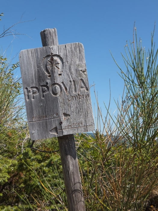
Dort stießen wir auf einen gut gekennzeichneten Reitweg, der auch ideal zum Biken war.
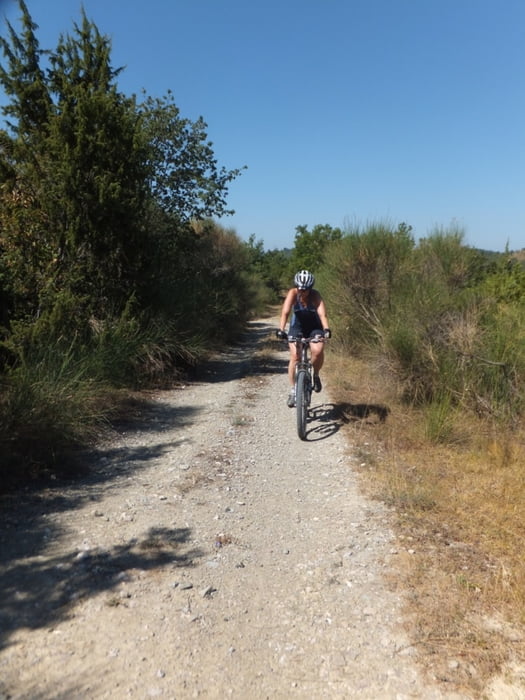
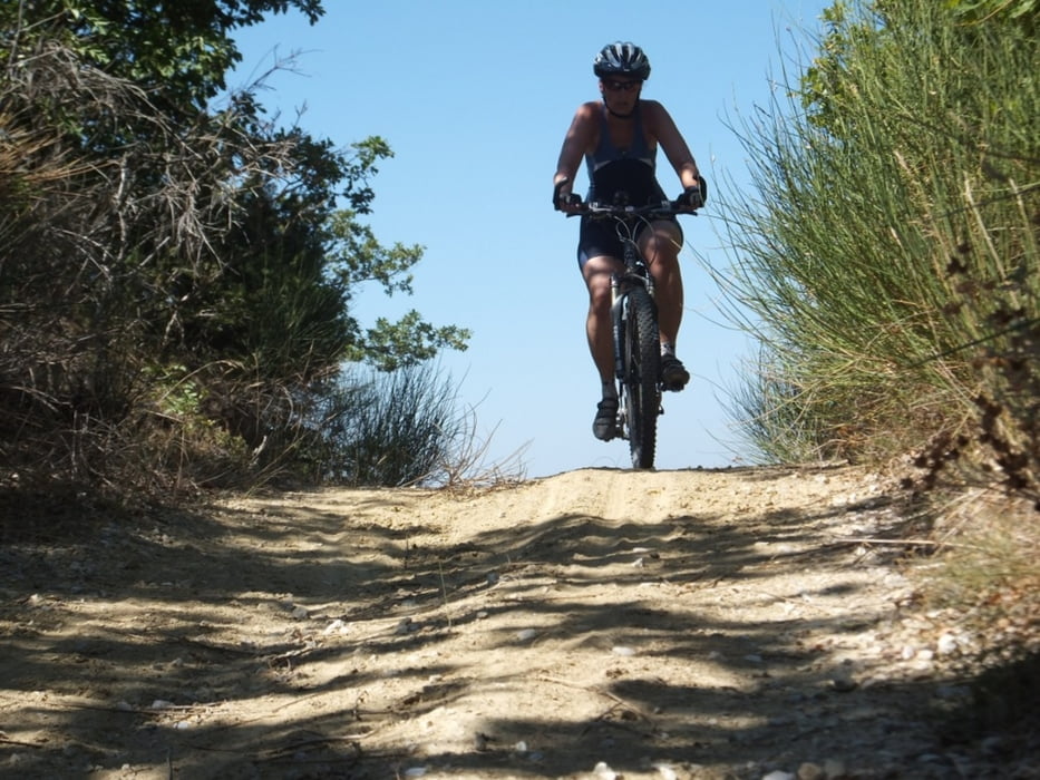
Viele Teile dieser Strecke lagen sogar im Schatten der Bäume - sehr angenehm bei 38 Grad Tagestemperatur. Schöne Flows und eine flotte Abfahrt auf Schotter führten uns wieder zurück.
Wem es zu heiß ist, kann die Rückfahrt auf der Straße angehen. Wer noch nicht genug hat, folgt dem aufgezeichneten Track - hier wird ein knackiger Anstieg in der Sonne, durch eine netten und teilweise herausfordenden Track zurück über den Wanderweg, belohnt.
Gleich ging es über einen zeitweise sehr zugewachsenen Wanderweg ins Hinterland.
Dort stießen wir auf einen gut gekennzeichneten Reitweg, der auch ideal zum Biken war.
Viele Teile dieser Strecke lagen sogar im Schatten der Bäume - sehr angenehm bei 38 Grad Tagestemperatur. Schöne Flows und eine flotte Abfahrt auf Schotter führten uns wieder zurück.
Wem es zu heiß ist, kann die Rückfahrt auf der Straße angehen. Wer noch nicht genug hat, folgt dem aufgezeichneten Track - hier wird ein knackiger Anstieg in der Sonne, durch eine netten und teilweise herausfordenden Track zurück über den Wanderweg, belohnt.
Tour gallery
Tour map and elevation profile
Minimum height 296 m
Maximum height 590 m
More about the tour author
|
|
Burn-hard |
Comments

GPS tracks
Trackpoints-
GPX / Garmin Map Source (gpx) download
-
TCX / Garmin Training Center® (tcx) download
-
CRS / Garmin Training Center® (crs) download
-
Google Earth (kml) download
-
G7ToWin (g7t) download
-
TTQV (trk) download
-
Overlay (ovl) download
-
Fugawi (txt) download
-
Kompass (DAV) Track (tk) download
-
Track data sheet (pdf) download
-
Original file of the author (gpx) download
More about the tour author
|
|
Burn-hard |
Add to my favorites
Remove from my favorites
Edit tags
Open track
My score
Rate