Login

Forgot your login?

Cookies have to be accepted!
Your browser's cookie functionality is disabled. Please enable this functionality.

Not a member yet?

Register now
Login

Available for registred users only

Log in to use this feature.

Forgot your login?

Cookies have to be accepted!
Your browser's cookie functionality is disabled. Please enable this functionality.

Not a member yet?

Register now
Filter
Categories
Advanced filters
  • Distance (km)
  • Height
Save filters Reset filter

TrackRank

QRCode

Technical data

Distance14,1 km Height1241 m Way down1093 m Duration06:48 h:m Date21.10.2012
Scores Author Landscape Fun factor Fitness Technique

Statistics

554 Views Scores 78 Downloads Average
Rate
  • Track data sheet
  • Directions
  • Downloads

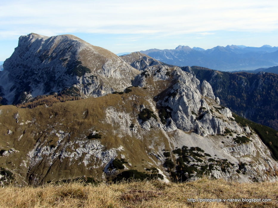
Vzpon s planine Blato prek planine v Lazu na vrh Ogradov, vrnitev čez planino Krstenica.


Further information at

http://potepanja-v-naravi.blogspot.com

Tour gallery

Tour map and elevation profile

  • Open Street Map
  • Google
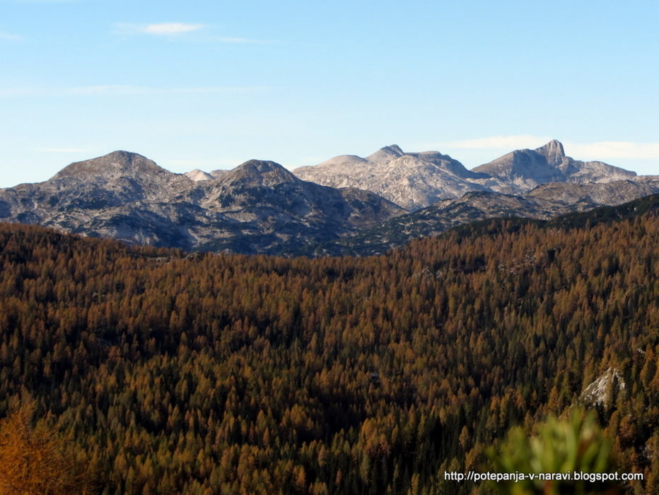
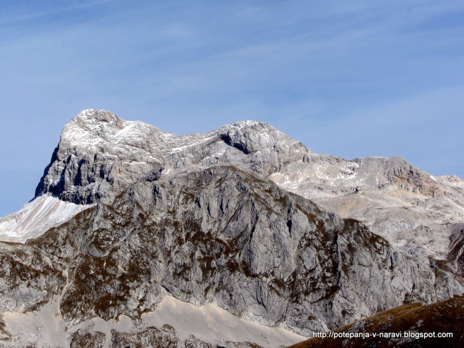
Minimum height 1004 m Maximum height 2104 m Detailed view

More about the tour author

ExAmigan
Member since 2009

Send private message

Comments

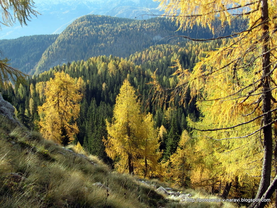
Zapeljemo se do Stare Fužine in od tam nadaljujemo v smeri planine Vogar in planine Blato. Parkiramo na parkirišču na planini Blato.

GPS tracks

Trackpoints
  • GPX / Garmin Map Source (gpx) download
  • TCX / Garmin Training Center® (tcx) download
  • CRS / Garmin Training Center® (crs) download
  • Google Earth (kml) download
  • G7ToWin (g7t) download
  • TTQV (trk) download
  • Overlay (ovl) download
  • Fugawi (txt) download
  • Kompass (DAV) Track (tk) download
  • Track data sheet (pdf) download
  • Original file of the author (gpx) download

More about the tour author

ExAmigan
Member since 2009

Send private message
Share track
Add to my favorites
Remove from my favorites
Edit tags
My score
Rate
Track: Ogradi
Type: Mountain hiking
Distance: 14,1 km
Evaluated on:
Duration:
Day(s)
Hour(s)
Minute(s)
Score: Landscape Fun factor Fitness Technique