


Ausganspunkt der Tour Freizeitzentrum Stuhlflden -
durch Ortskern Stuhlfelden auf Tauernradweg -
über Mittersill - Hollersbach - Mühlbach nach Bramberg
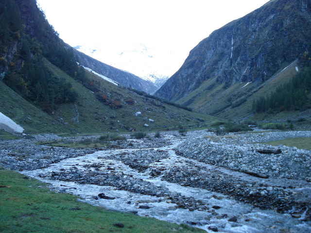
weiter Richtung Ortsteil Habach ins Habachtal
durch Ortskern Stuhlfelden auf Tauernradweg -
über Mittersill - Hollersbach - Mühlbach nach Bramberg
weiter Richtung Ortsteil Habach ins Habachtal
Further information at
http://www.bramberg.atTour gallery
Tour map and elevation profile
Minimum height 783 m
Maximum height 1416 m
More about the tour author

|
siol |
Comments

GPS tracks
Trackpoints-
GPX / Garmin Map Source (gpx) download
-
TCX / Garmin Training Center® (tcx) download
-
CRS / Garmin Training Center® (crs) download
-
Google Earth (kml) download
-
G7ToWin (g7t) download
-
TTQV (trk) download
-
Overlay (ovl) download
-
Fugawi (txt) download
-
Kompass (DAV) Track (tk) download
-
Track data sheet (pdf) download
-
Original file of the author (gpx) download
More about the tour author
|
|
siol |
Add to my favorites
Remove from my favorites
Edit tags
Open track
My score
Rate