


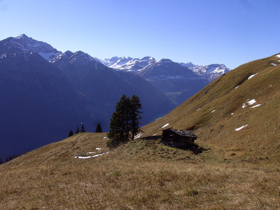
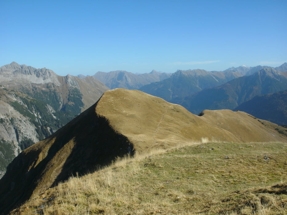
Start war in Stockach im hinteren Lechtal von einem kleinen Parkplatz bei der Lechbrücke.Nach etwa 600 mtr. beginnt der Aufstieg zum Berggasthof Sonnalm bei der Bergstation der Jöchelspitzbahn. Die letzten 150 Hm sind richtig steil. Danach folgt man dem Botanik-Lehrpfad bis zum Lachenkopf 1945 mtr. Hier beginnt der Lechtaler Panoramaweg, der seinen Namen verdient. Zunächst Schiebestrecke bis zum Rothornjoch 2150 mtr. Bis auf einige Stellen ist nun der gesamte Trail fahrbar bis zum Bernhardseck. Vom Bernhardseck auf Schotterweg ins Tal nach Elbigenalp. Von da auf dem Lechtalradweg zurück zum Parkplatz. Einkehrmöglichkeiten sind der Berggasthof Sonnalm und das Bernhardseck. Die Jöchelspitzbahn befördert keine Fahrräder.
Tour gallery


Tour map and elevation profile
Minimum height 1073 m
Maximum height 2215 m
More about the tour author
|
|
yr1willi |
Comments
von Reutte bis ins hintere Lechtal oder von Westen über den Hochtannbergpass.
GPS tracks
Trackpoints-
GPX / Garmin Map Source (gpx) download
-
TCX / Garmin Training Center® (tcx) download
-
CRS / Garmin Training Center® (crs) download
-
Google Earth (kml) download
-
G7ToWin (g7t) download
-
TTQV (trk) download
-
Overlay (ovl) download
-
Fugawi (txt) download
-
Kompass (DAV) Track (tk) download
-
Track data sheet (pdf) download
-
Original file of the author (gpx) download
More about the tour author
|
|
yr1willi |
Add to my favorites
Remove from my favorites
Edit tags
Open track
My score
Rate
verwunderte bergwanderer