
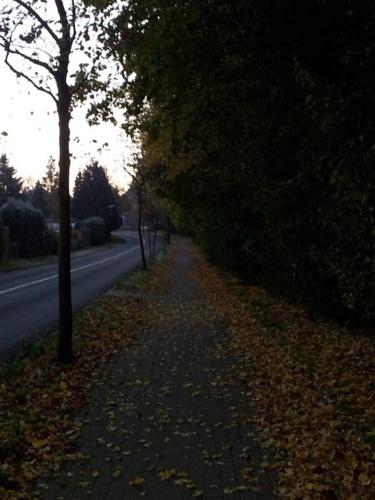

Eine kleine Tour durch Bönen, die man auch bei schlechtem Wetter gehen kann.
Beleuchtet ist diese Strecke auch fast überall.
Ein kleines Stück geht man durchs Feld, aber das ist nicht lang. Etwas am Bönener Trimm-dich-Wald entlang und dann durch die Lilienstraße und ein Neubaugebiet in Bönen.
Es gibt nichts besonderes zu sehen oder zu besichtigen, aber sehr schön zu laufen.
Tour gallery
Tour map and elevation profile
Minimum height 61 m
Maximum height 121 m
More about the tour author

|
feyaria |
Comments

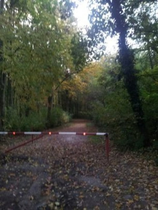
Es gibt mehrere Möglichkeiten diese Tour zu starten. Ich habe die möglichen Startpunkte in der Route markiert.
Am Wanderparkplatz (Kletterpoth) ist die beste Möglichkeit zu starten. Man kann aber auch an der Lilienstraße entlang gut parken und von dort aus starten.
GPS tracks
Trackpoints-
GPX / Garmin Map Source (gpx) download
-
TCX / Garmin Training Center® (tcx) download
-
CRS / Garmin Training Center® (crs) download
-
Google Earth (kml) download
-
G7ToWin (g7t) download
-
TTQV (trk) download
-
Overlay (ovl) download
-
Fugawi (txt) download
-
Kompass (DAV) Track (tk) download
-
Track data sheet (pdf) download
-
Original file of the author (gpx) download
More about the tour author
|
|
feyaria |
Add to my favorites
Remove from my favorites
Edit tags
Open track
My score
Rate