Login

Forgotten password?

Cookies have to be accepted!
Your browser's cookie functionality is disabled. Please enable this functionality.

Not a member yet?

Register now
Login

Available for registred users only

Log in to use this feature.

Forgotten password?

Cookies have to be accepted!
Your browser's cookie functionality is disabled. Please enable this functionality.

Not a member yet?

Register now
Filter
Categories
Advanced filters
  • Distance (km)
  • Height
Save filters Reset filter

TrackRank

QRCode

Technical data

Distance11,4 km Height937 m Way down936 m Duration04:00 h:m Date27.10.2012
Scores Author Landscape Fun factor Fitness Technique

Statistics

4667 Views 2 Scores 241 Downloads 3.50 Average
Rate
  • Track data sheet
  • Directions
  • Downloads
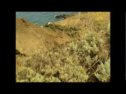
Von Chamorga geht es zunächst durch  immergrünen Wald höher nach Norden. Dann abwärts Richtung Meer nach El Darguillo. Nun nach Osten, meist aufwärts nach Las Palmas (kein Ort) und zum Leuchtturm Faro de Anaga. Nun kräftig bergan zum höchsten Punkt beim Montana Tafada und abwärts nach Chamorga.

Tour gallery

Tour map and elevation profile

  • Open Street Map
  • Google
Minimum height 80 m Maximum height 660 m Detailed view

More about the tour author

heinz-57
Member since 2009

Send private message

Comments

Auf der TF 123 Richtung Nordost nach Chamorga, am Ortsanfang Parkmöglichkeit direkt am Wegebeginn.


GPS tracks

Trackpoints
  • GPX / Garmin Map Source (gpx) download
  • TCX / Garmin Training Center® (tcx) download
  • CRS / Garmin Training Center® (crs) download
  • Google Earth (kml) download
  • G7ToWin (g7t) download
  • TTQV (trk) download
  • Overlay (ovl) download
  • Fugawi (txt) download
  • Kompass (DAV) Track (tk) download
  • Track data sheet (pdf) download
  • Original file of the author (gpx) download

More about the tour author

heinz-57
Member since 2009

Send private message
Share track
Add to my favorites
Remove from my favorites
Edit tags
My score
Rate
Track: Wandern Teneriffa: einsames Anaga- Gebirge bei Chamorga
Type: Hiking
Distance: 11,4 km
Evaluated on:
Duration:
Day(s)
Hour(s)
Minute(s)
Score: Landscape Fun factor Fitness Technique