


Wir starten die Tour am Parkplatz der Hörnerbahn und radeln dann von der Talstation zur Bergstation der Höhrerbahn.
Von der Bergstation (Alpe Gletscherspalte) geht es weitere 200 Höhenmeter nach oben.
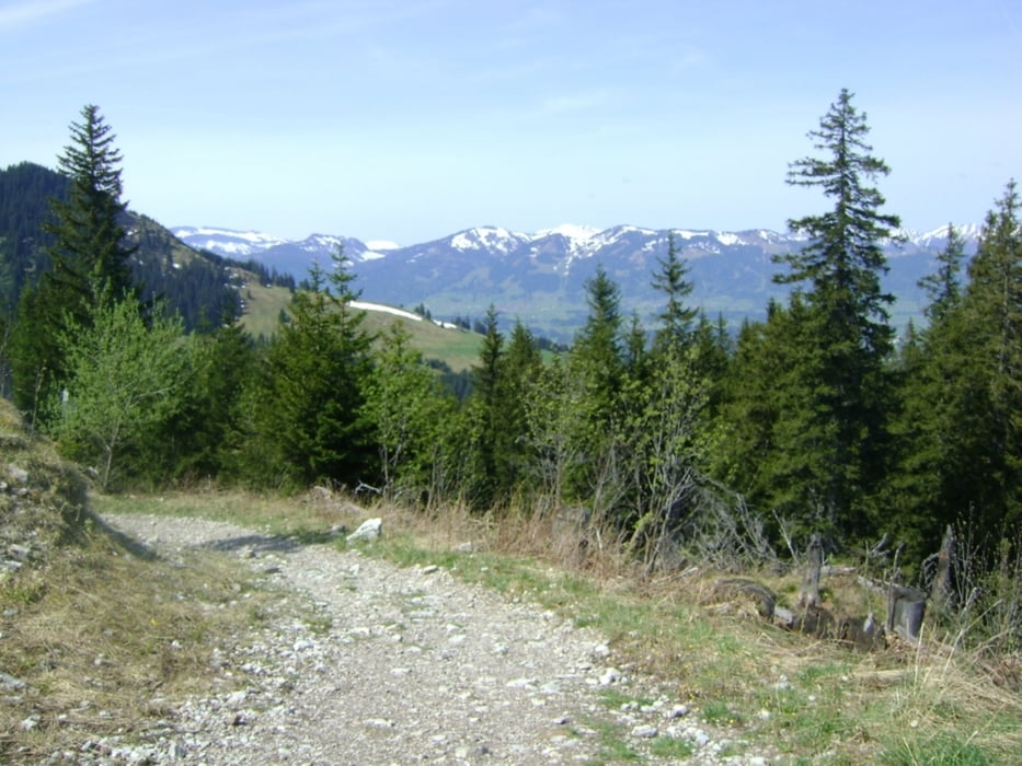
Nun gehts Berg ab zur Schwaben und dann zur Straußberghütte von dort Richtung Naturfreundehaus und Alpe Straussberg.
Nach eine paar Kilometer erreichen wir den Sonthofener Hof.
Wir folgen der Straße abwärts und fahren nun durch Wälder und nehmen ein paar schöne Trails mit bis wir an der Hauptstraße zwischen Sonthofen und Tiefenbach ankommen.
Von dort gehts dann auf einem Radweg neben der Hauptstraße Richtung Hindelang zurück
Tour gallery

Tour map and elevation profile
Minimum height 766 m
Maximum height 1392 m
More about the tour author

|
FunRadler |
Comments

Sonthofen----Bad Hindelang----Parken an der Bergbahn
GPS tracks
Trackpoints-
GPX / Garmin Map Source (gpx) download
-
TCX / Garmin Training Center® (tcx) download
-
CRS / Garmin Training Center® (crs) download
-
Google Earth (kml) download
-
G7ToWin (g7t) download
-
TTQV (trk) download
-
Overlay (ovl) download
-
Fugawi (txt) download
-
Kompass (DAV) Track (tk) download
-
Track data sheet (pdf) download
-
Original file of the author (gpx) download
More about the tour author
|
|
FunRadler |
Add to my favorites
Remove from my favorites
Edit tags
Open track
My score
Rate