Login

Forgotten password?

Cookies have to be accepted!
Your browser's cookie functionality is disabled. Please enable this functionality.

Not a member yet?

Register now
Login

Available for registred users only

Log in to use this feature.

Forgotten password?

Cookies have to be accepted!
Your browser's cookie functionality is disabled. Please enable this functionality.

Not a member yet?

Register now
Filter
Categories
Advanced filters
  • Distance (km)
  • Height
Save filters Reset filter

TrackRank

QRCode

Technical data

Distance62,8 km Height663 m Way down666 m Duration05:00 h:m Date30.10.2012
Scores Author Landscape Fun factor Fitness Technique

Statistics

251 Views Scores 35 Downloads Average
Rate
  • Track data sheet
  • Directions
  • Downloads

Die Tour beginnt in Sachrang/Grenzhub im Naturdorf Sachrang am Chalet-Oberbayern.

Es wurden nach Möglichkeit Nebenweg u. -strassen benutzt. Die Beläge sind Asphalt oder Kies.

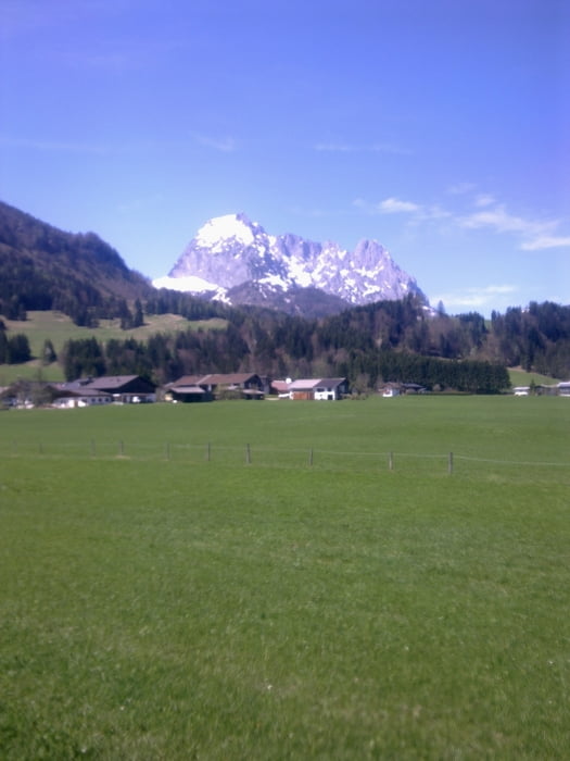
Die Strecke führt von Deutschland direkt über die Grenze nach Tirol, weiter nach Rettenschöss, Walchsee, Schwendt, Kirchdorf, Erpfendorf, durchs Grossache Tal, Kössen und über Walchsee zurück. 

Further information at

http://www.chalet-oberbayern.de

Tour map and elevation profile

  • Open Street Map
  • Google
Minimum height 597 m Maximum height 764 m Detailed view

More about the tour author

vermesser
Member since 2008

Send private message

Comments

GPS tracks

Trackpoints
  • GPX / Garmin Map Source (gpx) download
  • TCX / Garmin Training Center® (tcx) download
  • CRS / Garmin Training Center® (crs) download
  • Google Earth (kml) download
  • G7ToWin (g7t) download
  • TTQV (trk) download
  • Overlay (ovl) download
  • Fugawi (txt) download
  • Kompass (DAV) Track (tk) download
  • Track data sheet (pdf) download
  • Original file of the author (gpx) download

More about the tour author

vermesser
Member since 2008

Send private message
Share track
Add to my favorites
Remove from my favorites
Edit tags
My score
Rate
Track: Sachrang - Kirchdorf
Type: Bicycle tours
Distance: 62,8 km
Evaluated on:
Duration:
Day(s)
Hour(s)
Minute(s)
Score: Landscape Fun factor Fitness Technique