Login

Forgotten password?

Cookies have to be accepted!
Your browser's cookie functionality is disabled. Please enable this functionality.

Not a member yet?

Register now
Login

Available for registred users only

Log in to use this feature.

Forgotten password?

Cookies have to be accepted!
Your browser's cookie functionality is disabled. Please enable this functionality.

Not a member yet?

Register now
Filter
Categories
Advanced filters
  • Distance (km)
  • Height
Save filters Reset filter

TrackRank

QRCode

Technical data

Distance548,5 km Height10001 m Way down10021 m Duration00:00 h:m Date03.11.2012
Scores Author Landscape Fun factor Fitness Technique

Statistics

834 Views 1 Score 56 Downloads 1.00 Average
Rate
  • Track data sheet
  • Directions
  • Downloads

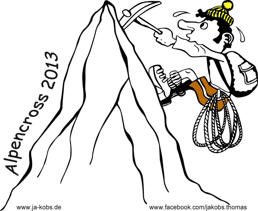
Planung Alpencross 2013

Die Tourbeschreibung folgt, wenn diese gefahren wurde.
Der Streckenverlauf könnte sich noch ändern.
Tourstart wirs so ca. Juni/Juli 2013 sein

Tour map and elevation profile

  • Open Street Map
  • Google
Minimum height 771 m Maximum height 3122 m Detailed view

More about the tour author

jaki0815
Member since 2010

Send private message

Comments

GPS tracks

Trackpoints
  • GPX / Garmin Map Source (gpx) download
  • TCX / Garmin Training Center® (tcx) download
  • CRS / Garmin Training Center® (crs) download
  • Google Earth (kml) download
  • G7ToWin (g7t) download
  • TTQV (trk) download
  • Overlay (ovl) download
  • Fugawi (txt) download
  • Kompass (DAV) Track (tk) download
  • Track data sheet (pdf) download
  • Original file of the author (gpx) download

More about the tour author

jaki0815
Member since 2010

Send private message
Share track
Add to my favorites
Remove from my favorites
Edit tags
My score
Rate
Track: Alpencross 2013 - Planung
Type: Transalp
Distance: 548,5 km
Evaluated on:
Duration:
Day(s)
Hour(s)
Minute(s)
Score: Landscape Fun factor Fitness Technique