


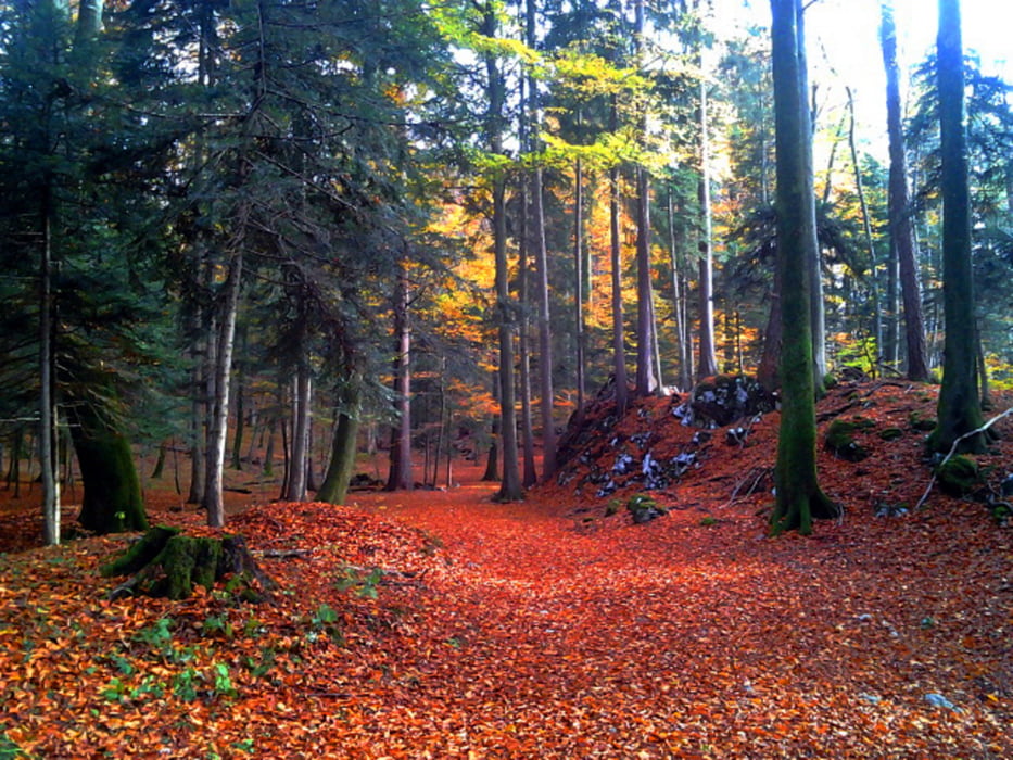
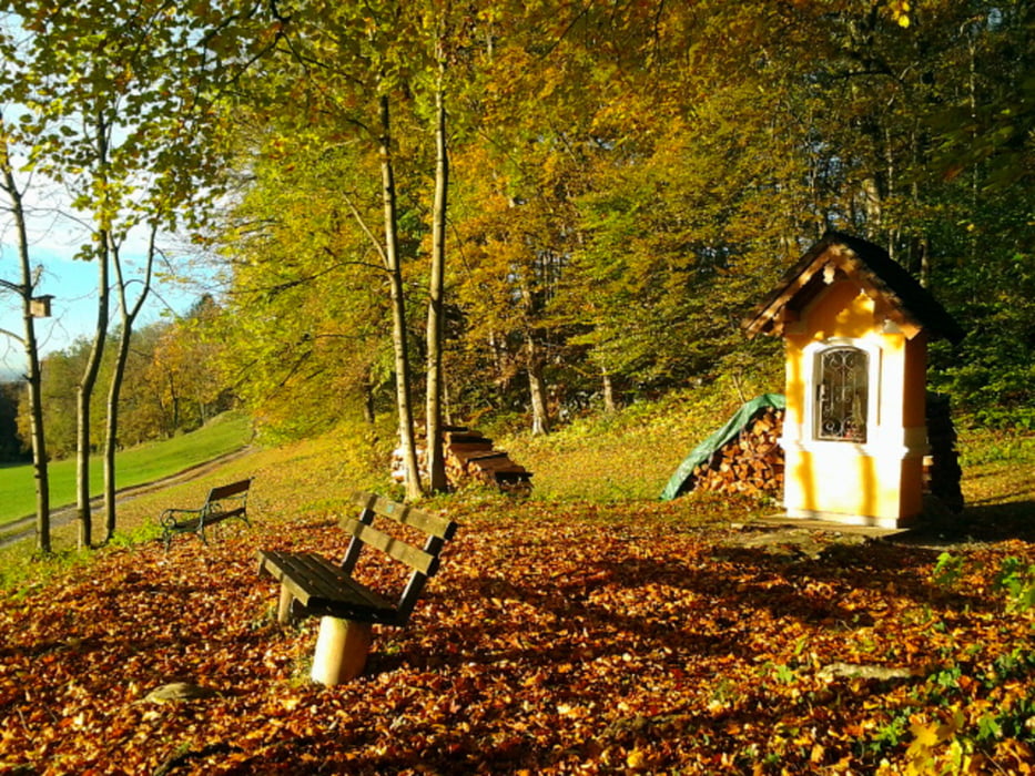
Gerade im Herbst aufgrund der Laubverfärbung eine nette kleine Rundwanderung auf den Oberalmerberg (Almerberg) und über die Wiesen von Puch wieder zurück nach Oberalm.
Die Tour wurde mit der Garmin Outdooruhr fenix aufgezeichnet. Die Bilder stammen aus der Handykamera des Outdoorhandys Samsung XCOVER
Further information at
http://www.garmin.info.at/gpstouren.htmTour gallery


Tour map and elevation profile
Minimum height 448 m
Maximum height 805 m
More about the tour author
|
|
GarminSalzburg |
Comments

In Oberalm fahren Sie hinauf zur Kirche , dort vorbei und schließlich zum kleinen Parkplatz beim Tennisplatz.
GPS tracks
Trackpoints-
GPX / Garmin Map Source (gpx) download
-
TCX / Garmin Training Center® (tcx) download
-
CRS / Garmin Training Center® (crs) download
-
Google Earth (kml) download
-
G7ToWin (g7t) download
-
TTQV (trk) download
-
Overlay (ovl) download
-
Fugawi (txt) download
-
Kompass (DAV) Track (tk) download
-
Track data sheet (pdf) download
-
Original file of the author (gpx) download
More about the tour author
|
|
GarminSalzburg |
Add to my favorites
Remove from my favorites
Edit tags
Open track
My score
Rate