Login

Forgot your login?

Cookies have to be accepted!
Your browser's cookie functionality is disabled. Please enable this functionality.

Not a member yet?

Register now
Login

Available for registred users only

Log in to use this feature.

Forgot your login?

Cookies have to be accepted!
Your browser's cookie functionality is disabled. Please enable this functionality.

Not a member yet?

Register now
Filter
Categories
Advanced filters
  • Distance (km)
  • Height
Save filters Reset filter

TrackRank

QRCode

Technical data

Distance14,9 km Height386 m Way down374 m Duration04:18 h:m Date13.11.2012
Scores Author Landscape Fun factor Fitness Technique

Statistics

449 Views Scores 100 Downloads Average
Rate
  • Track data sheet
  • Directions
  • Downloads

von der Stadt Saint-Rémy (vor dem Office de Tourisme, Place Jean Jaurrès) an Glanum vorbei auf dem Botanischen Weg des Naturparks La Caume zum Hochpleau von Crau, dort bis zum Fernsehturm.

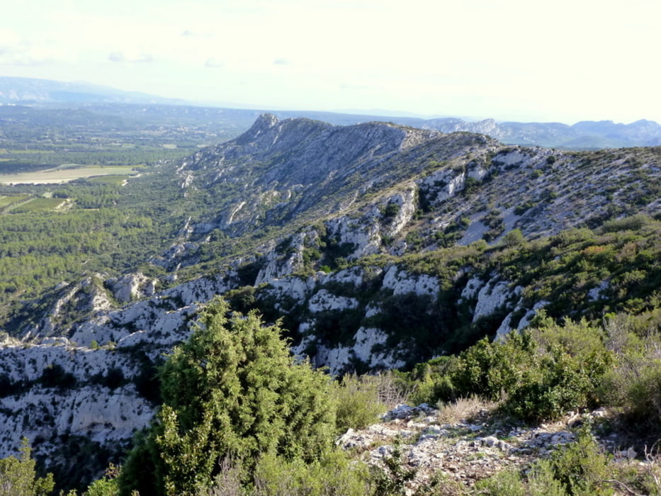
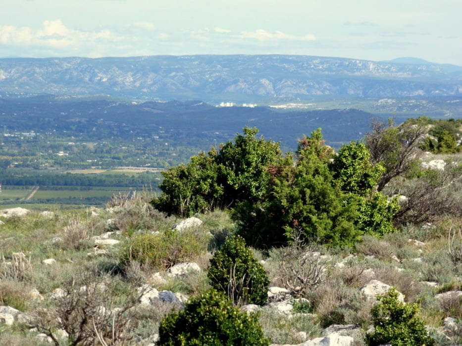
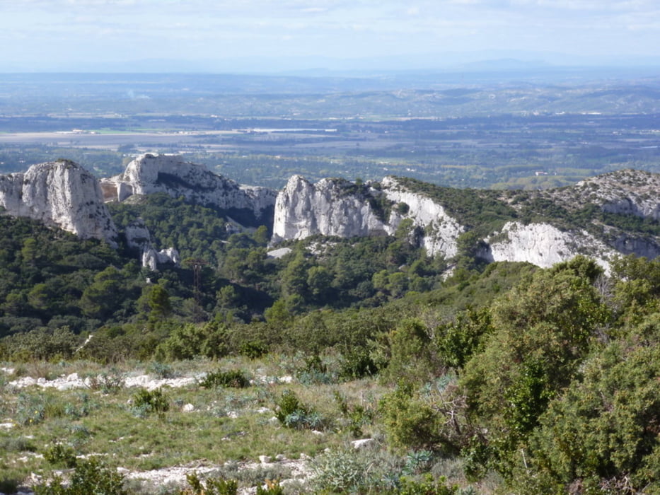
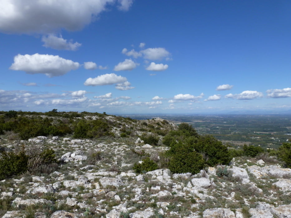
Großartige Aussichten auf den Mont Ventou, den Luberon und in der Ferne sogar Avignon


Further information at

http://de.wikipedia.org/wiki/La_Caume

Tour gallery

Tour map and elevation profile

  • Open Street Map
  • Google
Minimum height 46 m Maximum height 397 m Detailed view

More about the tour author

horst1508
Member since 2012

Send private message

Comments

Stadtmitte von Saint-Rémy-de-Provence (s.o. unter Tourenbschreibung 

GPS tracks

Trackpoints
  • GPX / Garmin Map Source (gpx) download
  • TCX / Garmin Training Center® (tcx) download
  • CRS / Garmin Training Center® (crs) download
  • Google Earth (kml) download
  • G7ToWin (g7t) download
  • TTQV (trk) download
  • Overlay (ovl) download
  • Fugawi (txt) download
  • Kompass (DAV) Track (tk) download
  • Track data sheet (pdf) download
  • Original file of the author (gpx) download

More about the tour author

horst1508
Member since 2012

Send private message
Share track
Add to my favorites
Remove from my favorites
Edit tags
My score
Rate
Track: Saint-Rémy - Naturpark La Caume - Hochplateau von Crau, dort zum Fernsehturm
Type: Hiking
Distance: 14,9 km
Evaluated on:
Duration:
Day(s)
Hour(s)
Minute(s)
Score: Landscape Fun factor Fitness Technique