Login

Forgot your login?

Cookies have to be accepted!
Your browser's cookie functionality is disabled. Please enable this functionality.

Not a member yet?

Register now
Login

Available for registred users only

Log in to use this feature.

Forgot your login?

Cookies have to be accepted!
Your browser's cookie functionality is disabled. Please enable this functionality.

Not a member yet?

Register now
Filter
Categories
Advanced filters
  • Distance (km)
  • Height
Save filters Reset filter

TrackRank

QRCode

Technical data

Distance26,1 km Height255 m Way down260 m Duration06:32 h:m Date13.11.2012
Scores Author Landscape Fun factor Fitness Technique

Statistics

1541 Views 1 Score 61 Downloads 1.00 Average
Rate
  • Track data sheet
  • Directions
  • Downloads
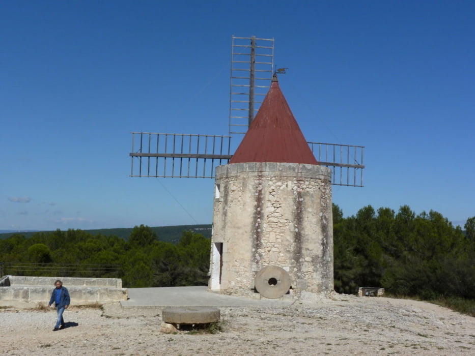
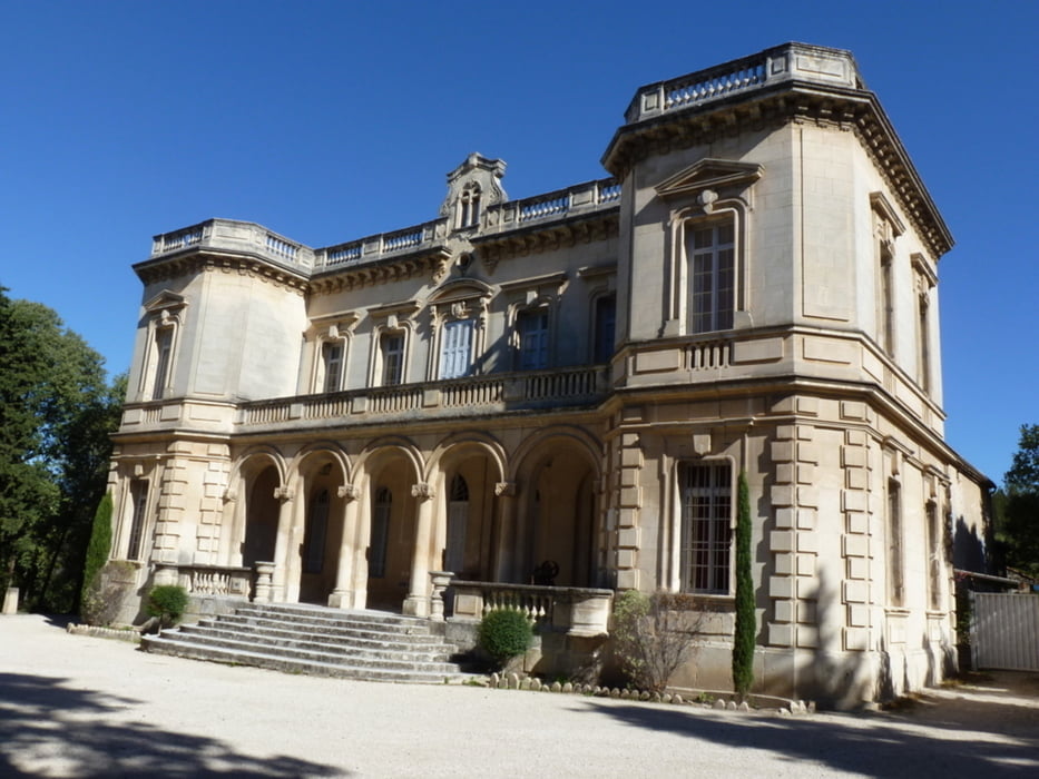
Von Maussane-les-Alpilles gehts durch durch die Alpilles z. T. durch Pinienwälder nach Fontvieille zur Mühle von Daudet und dem nahe gelegenen Château de Montauban  und auf anderen Wergen wieder zurück nach Maussane

Further information at

http://de.wikipedia.org/wiki/Regionaler_Naturpark_Alpilles

Tour gallery

Tour map and elevation profile

  • Open Street Map
  • Google
Minimum height 5 m Maximum height 108 m Detailed view

More about the tour author

horst1508
Member since 2012

Send private message

Comments

z.B. nach Maussane zum Rathaus (Marie) Avenue de la Vallée des Baux,
F-13520 Maussane les Alpilles


GPS tracks

Trackpoints
  • GPX / Garmin Map Source (gpx) download
  • TCX / Garmin Training Center® (tcx) download
  • CRS / Garmin Training Center® (crs) download
  • Google Earth (kml) download
  • G7ToWin (g7t) download
  • TTQV (trk) download
  • Overlay (ovl) download
  • Fugawi (txt) download
  • Kompass (DAV) Track (tk) download
  • Track data sheet (pdf) download
  • Original file of the author (gpx) download

More about the tour author

horst1508
Member since 2012

Send private message
Share track
Add to my favorites
Remove from my favorites
Edit tags
My score
Rate
Track: Von Maussane-les-Alpilles zur Mühle von Daudet bei Fontvieille, Rundwanderung
Type: Hiking
Distance: 26,1 km
Evaluated on:
Duration:
Day(s)
Hour(s)
Minute(s)
Score: Landscape Fun factor Fitness Technique