Login

Forgot your login?

Cookies have to be accepted!
Your browser's cookie functionality is disabled. Please enable this functionality.

Not a member yet?

Register now
Login

Available for registred users only

Log in to use this feature.

Forgot your login?

Cookies have to be accepted!
Your browser's cookie functionality is disabled. Please enable this functionality.

Not a member yet?

Register now
Filter
Categories
Advanced filters
  • Distance (km)
  • Height
Save filters Reset filter

TrackRank

QRCode

Technical data

Distance8,8 km Height630 m Way down606 m Duration04:33 h:m Date20.11.2012
Scores Author Landscape Fun factor Fitness Technique

Statistics

673 Views Scores 34 Downloads Average
Rate
  • Track data sheet
  • Directions
  • Downloads
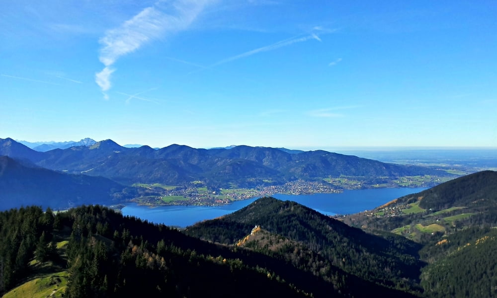
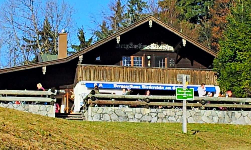
Mässig schwere Bergtour über Waldwege und Gipfelpfad mit Kapelle am Weg auf dem Riederstein und schöner Aussicht auf Tegernsee.

Tour gallery

Tour map and elevation profile

  • Open Street Map
  • Google
Minimum height 792 m Maximum height 1445 m Detailed view

More about the tour author

drfwalter
Member since 2012

Send private message

Comments

A8 Holzkirchen nach Tegernsee

GPS tracks

Trackpoints
  • GPX / Garmin Map Source (gpx) download
  • TCX / Garmin Training Center® (tcx) download
  • CRS / Garmin Training Center® (crs) download
  • Google Earth (kml) download
  • G7ToWin (g7t) download
  • TTQV (trk) download
  • Overlay (ovl) download
  • Fugawi (txt) download
  • Kompass (DAV) Track (tk) download
  • Track data sheet (pdf) download
  • Original file of the author (gpx) download

More about the tour author

drfwalter
Member since 2012

Send private message
Share track
Add to my favorites
Remove from my favorites
Edit tags
My score
Rate
Track: Baumgartenschneid über Riederstein Rundtour
Type: Mountain hiking
Distance: 8,8 km
Evaluated on:
Duration:
Day(s)
Hour(s)
Minute(s)
Score: Landscape Fun factor Fitness Technique