


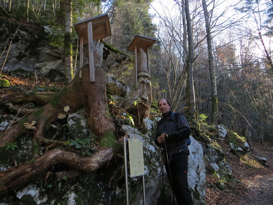
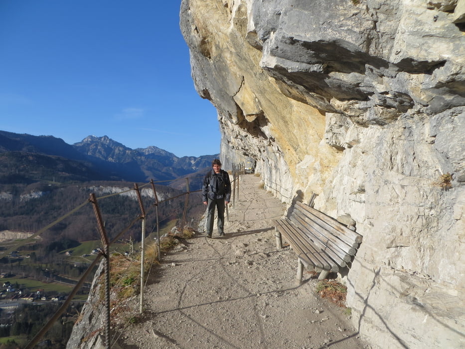
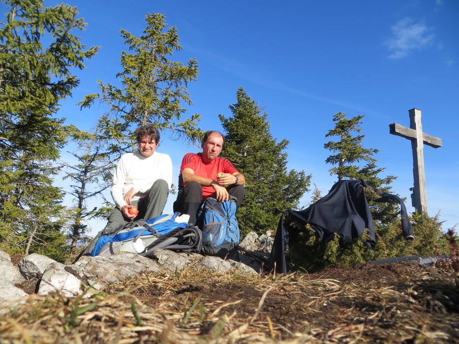
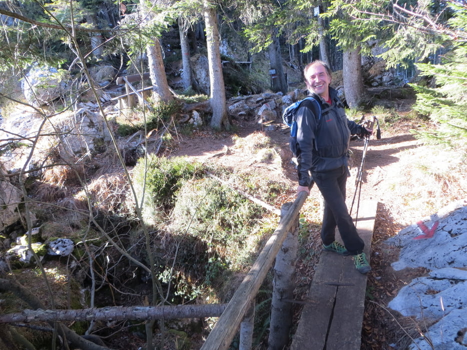
Ausgangspunkt ist in Bad Goisern ein kleiner Parkplatz im Ortsteil Posen. Auf einen steilen Asphaltweg geht es in den Wald hinein und nach einigen Kehren zur "Ewigen Wand". Gleich danach gehts rechts auf dem Wanderweg 245 oberhalb der Wand entlang aufwärts. In Gipfelnähe wird es etwas ausgesetzt. In 1 1/2 bis höchstens 2 Stunden müsste der Aufstieg geschafft sein und man erreicht einen kleinen aber sehr schönen Gipfel. Super Aussicht !! Der Abstieg geht über einen kleinen Holzsteg und steilen Serpentinen durch den Wald runter auf eine Forststrasse. Die führt zur Ewigen Wand und zum Ausgangspunkt. Eine kleine aber sehr schöne Bergtour und auf jeden Fall die " Ewige Wand " mitmachen!
mehr Bilder: seppdepp.heim.at
Tour gallery
Tour map and elevation profile
Minimum height 556 m
Maximum height 1254 m
More about the tour author
|
|
Atzbach |
Comments

GPS tracks
Trackpoints-
GPX / Garmin Map Source (gpx) download
-
TCX / Garmin Training Center® (tcx) download
-
CRS / Garmin Training Center® (crs) download
-
Google Earth (kml) download
-
G7ToWin (g7t) download
-
TTQV (trk) download
-
Overlay (ovl) download
-
Fugawi (txt) download
-
Kompass (DAV) Track (tk) download
-
Track data sheet (pdf) download
-
Original file of the author (gpx) download
More about the tour author
|
|
Atzbach |
Add to my favorites
Remove from my favorites
Edit tags
Open track
My score
Rate