


Ausgangspunkt:
Parkplatz Präbichlpass (Gasthof Kristall)
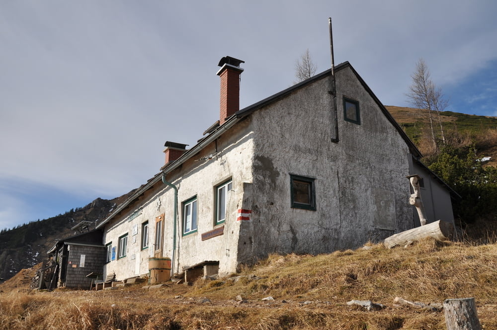
Von dort aus dem markierten Feldweg Richtung Leobnerhütte, 1.582m folgen.
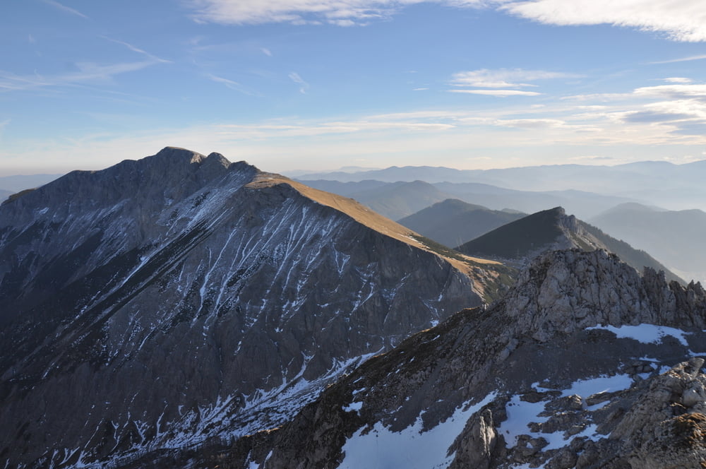
Ab der Hütte der markierung Richtung Griessmauer folgen. Kurzer Abstieg in den Kessel und danach folgt der Einstieg in den Hubert Wieser Steig, nur ca. 50 hm, Schwierigkeit: I
mit Drahtseile.
Diesen Weg wieder retour.
Ich nahm hier doch ab der Leobnerhütte den Knappensteig, der zur Bergstation und anschlissend durch den Wald bis zum Parkplatz führte,
Viel Spaß.
Tour gallery


Tour map and elevation profile
Minimum height 1212 m
Maximum height 2024 m
More about the tour author
|
|
schoyswo |
Comments

B115 bis zur Passhöhe Präbichl.
Parkplatz - Talstation Polster Lift.
GPS tracks
Trackpoints-
GPX / Garmin Map Source (gpx) download
-
TCX / Garmin Training Center® (tcx) download
-
CRS / Garmin Training Center® (crs) download
-
Google Earth (kml) download
-
G7ToWin (g7t) download
-
TTQV (trk) download
-
Overlay (ovl) download
-
Fugawi (txt) download
-
Kompass (DAV) Track (tk) download
-
Track data sheet (pdf) download
-
Original file of the author (gpx) download
More about the tour author
|
|
schoyswo |
Add to my favorites
Remove from my favorites
Edit tags
Open track
My score
Rate