


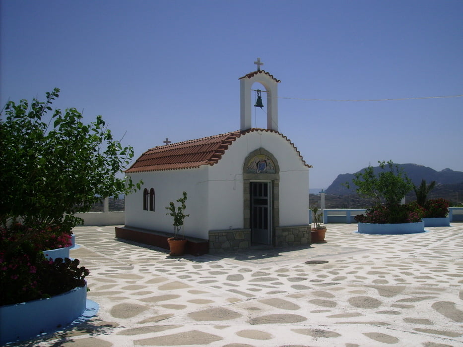
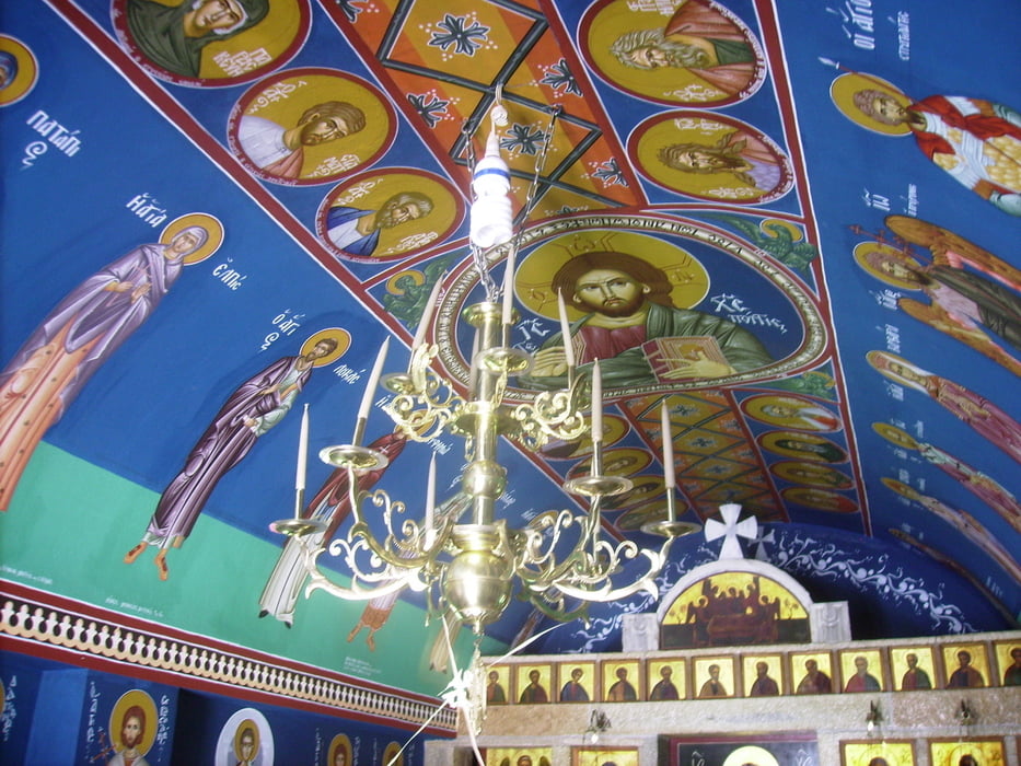
Eigentlich wollte ich die Windkraftwerke umrunden. Auf Kos enden die Wege oft irgendwo in der Pampa oder bei einem Ziegenstall (bis hierhin bin ich den Autospuren gefolgt)... Dafür habe ich dier schönste Kapelle (Illias) auf Kefalos (bei den Windkraftwerken) gefunden.
Tour gallery


Tour map and elevation profile
Minimum height 38 m
Maximum height 197 m
More about the tour author

|
Hafi |
Comments

GPS tracks
Trackpoints-
GPX / Garmin Map Source (gpx) download
-
TCX / Garmin Training Center® (tcx) download
-
CRS / Garmin Training Center® (crs) download
-
Google Earth (kml) download
-
G7ToWin (g7t) download
-
TTQV (trk) download
-
Overlay (ovl) download
-
Fugawi (txt) download
-
Kompass (DAV) Track (tk) download
-
Track data sheet (pdf) download
-
Original file of the author (gpx) download
More about the tour author
|
|
Hafi |
Add to my favorites
Remove from my favorites
Edit tags
Open track
My score
Rate