


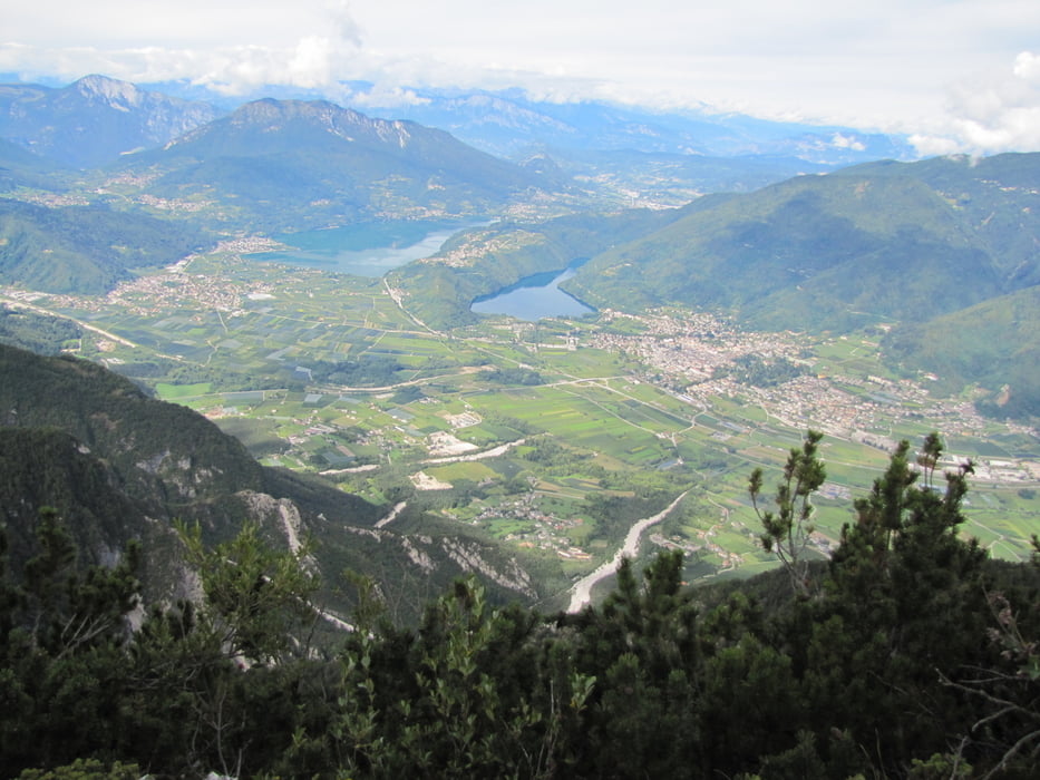
Rundkurs über die drei Trentiner Hochebenen.
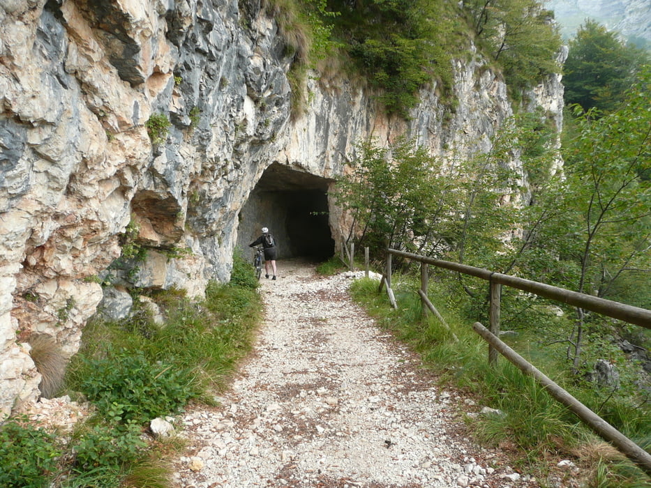
Die Route führt vorbei an sechs ehemaligen österreichisch-ungarischen Festungen. Die Festung Belvedere/Gschwendt verfügt über ein Museum, das sich lohnt anzusehen. Bei längeren Aufenthalten sollte man die Tour ggf. teilen.
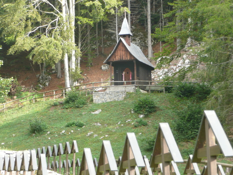
Route: Start/Ziel Via Nazioni Unite/Folgaria- Mezzaselva- Forte Dosso delle Somme – Passo Coe – Sommo Alto – Ortesino – Ex ospedale Militare –Scala dell'Imperatore - Forte Cherle – Cueli Liberi – Carbonare – Monte Rust mit Osservatorio Austria – Lavarone Chiesa – Lago di Lavarone – Masi di Sotto – Oseli – Forte Belvedere – Passo Cost – Malga Laghetto – Masetti – Luserna – Malga Campo – Avanposto Oberwiesen - Forte Campo Luserna – Malga Millegrobbe Di Sotto – Passo Di Vezzena – Forte Busa Verle – Baita Del Cangi - Slaghenaufi (Cim. Di Guerra) – Lavarone Bertoldi – Stengheli – Ex comando Austriaco – Malga Elbele - Carbonare – S. Sebastiano -Passo Del Sommo – Start/Ziel Via Nazioni Unite/Folgaria.
Tour gallery

Tour map and elevation profile
Minimum height 1059 m
Maximum height 1663 m
More about the tour author

|
kunkelbied |
Comments

GPS tracks
Trackpoints-
GPX / Garmin Map Source (gpx) download
-
TCX / Garmin Training Center® (tcx) download
-
CRS / Garmin Training Center® (crs) download
-
Google Earth (kml) download
-
G7ToWin (g7t) download
-
TTQV (trk) download
-
Overlay (ovl) download
-
Fugawi (txt) download
-
Kompass (DAV) Track (tk) download
-
Track data sheet (pdf) download
-
Original file of the author (gpx) download
More about the tour author
|
|
kunkelbied |
Add to my favorites
Remove from my favorites
Edit tags
Open track
My score
Rate