


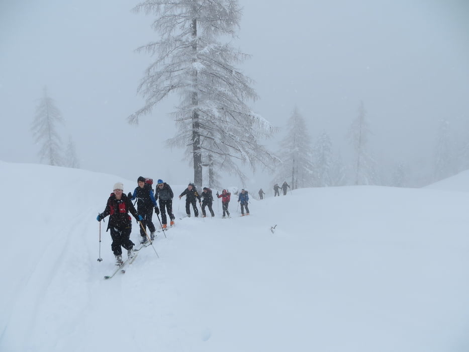
Ausgangspunkt ist der Parplatz zur Genneralm (800m), Ortsteil Lämmerbach. Sehr schöner 1,5h Aufstieg durch den Wald zur Genneralm. Von dort gehts ca.100hm runter zum Einstieg des Hohen Zinken. Jetzt etwas steiler und ein paar Spitzkehren noch einmal 1,5h zum Gipfel. Abfahrt zurück zur Genneralm wie Aufstieg, dann auf Forststrasse zurück zum Parkplatz. Einkehrmöglichkeit erst unten im Ort.
mehr Bilder: seppdepp.heim.at
Tour gallery


Tour map and elevation profile
Minimum height 774 m
Maximum height 1778 m
More about the tour author
|
|
Atzbach |
Comments
GPS tracks
Trackpoints-
GPX / Garmin Map Source (gpx) download
-
TCX / Garmin Training Center® (tcx) download
-
CRS / Garmin Training Center® (crs) download
-
Google Earth (kml) download
-
G7ToWin (g7t) download
-
TTQV (trk) download
-
Overlay (ovl) download
-
Fugawi (txt) download
-
Kompass (DAV) Track (tk) download
-
Track data sheet (pdf) download
-
Original file of the author (gpx) download
More about the tour author
|
|
Atzbach |
Add to my favorites
Remove from my favorites
Edit tags
Open track
My score
Rate
Skitour Hoher Zinken
Einen ausführlichen Bericht zur Tour gibt's hier: http://berghasen.com/2016/03/21/hoher-zinken-skitour-anfaenger-osterhorngruppe/