Login

Forgotten password?

Cookies have to be accepted!
Your browser's cookie functionality is disabled. Please enable this functionality.

Not a member yet?

Register now
Login

Available for registred users only

Log in to use this feature.

Forgotten password?

Cookies have to be accepted!
Your browser's cookie functionality is disabled. Please enable this functionality.

Not a member yet?

Register now
Filter
Categories
Advanced filters
  • Distance (km)
  • Height
Save filters Reset filter

TrackRank

QRCode

Technical data

Distance7,6 km Height118 m Way down687 m Duration02:25 h:m Date26.12.2012
Scores Author User Landscape Fun factor Fitness Technique

Statistics

552 Views 1 Score 18 Downloads 4.00 Average
Rate
  • Track data sheet
  • Directions
  • Downloads

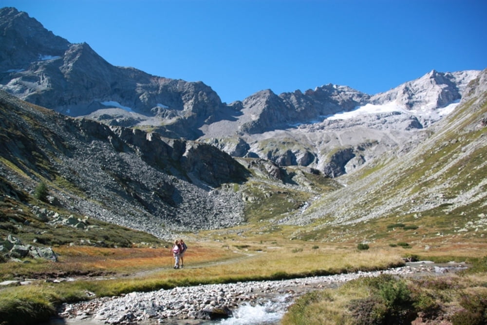
Vervolg op mijn track Olpererhütte.

Betreft de afdaling van de hut naar de Schlegeisstausee via de Unterschrammachkar

Further information at

http://www.peterenemmy.nl/Oostenrijk/zomer/2012%20aug%20zomervakantie/Olpererhuette.html

Tour gallery

Tour map and elevation profile

  • Open Street Map
  • Google
Minimum height 1791 m Maximum height 2436 m Detailed view

More about the tour author

peterenemmy
Member since 2012

Send private message

Comments

GPS tracks

Trackpoints
  • GPX / Garmin Map Source (gpx) download
  • TCX / Garmin Training Center® (tcx) download
  • CRS / Garmin Training Center® (crs) download
  • Google Earth (kml) download
  • G7ToWin (g7t) download
  • TTQV (trk) download
  • Overlay (ovl) download
  • Fugawi (txt) download
  • Kompass (DAV) Track (tk) download
  • Track data sheet (pdf) download
  • Original file of the author (gpx) download

More about the tour author

peterenemmy
Member since 2012

Send private message
Share track
Add to my favorites
Remove from my favorites
Edit tags
My score
Rate
Track: Neumarkter Runde
Type: Mountain hiking
Distance: 7,6 km
Evaluated on:
Duration:
Day(s)
Hour(s)
Minute(s)
Score: Landscape Fun factor Fitness Technique