


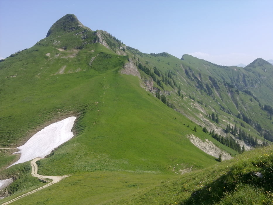
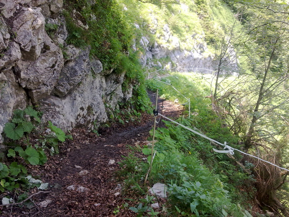
Die Tour startet am Achensee kurz vor Maurach. Wie im Karwendel üblich derbe Steigung auf Schotterpiste zum Schleimsattel. Toller, einfacher Flowtrail runter Richtung Sylvenstein mit grandioser Aussicht auf die gegenüberliegenden Almwiesen. Einkehr und Stärkung im Forsthaus Aquila. Besser nicht zu viel Kuchen, da der lange und öde Autobahnanstieg bis zum Rotwandalm-Hochleger. Ab hier steilere und etwas anspruchsvollere Strecke bis zum Juifen Sattel mit super Aussicht auf die umliegenden Berge. Danach lange Schotterpistenabfahrt nach Achenkirch und von dort auf Asphalt zurück zum Ausgangspunkt.
Wenig anspruchsvolle Tour mit bester Alpenoptik.
Tour gallery
Tour map and elevation profile
Minimum height 921 m
Maximum height 1799 m
More about the tour author
|
|
solarphoenix |
Comments

Achkirch / Maurach / Pertisau am Achensee
GPS tracks
Trackpoints-
GPX / Garmin Map Source (gpx) download
-
TCX / Garmin Training Center® (tcx) download
-
CRS / Garmin Training Center® (crs) download
-
Google Earth (kml) download
-
G7ToWin (g7t) download
-
TTQV (trk) download
-
Overlay (ovl) download
-
Fugawi (txt) download
-
Kompass (DAV) Track (tk) download
-
Track data sheet (pdf) download
-
Original file of the author (gpx) download
More about the tour author
|
|
solarphoenix |
Add to my favorites
Remove from my favorites
Edit tags
Open track
My score
Rate