Login

Forgotten password?

Cookies have to be accepted!
Your browser's cookie functionality is disabled. Please enable this functionality.

Not a member yet?

Register now
Login

Available for registred users only

Log in to use this feature.

Forgotten password?

Cookies have to be accepted!
Your browser's cookie functionality is disabled. Please enable this functionality.

Not a member yet?

Register now
Filter
Categories
Advanced filters
  • Distance (km)
  • Height
Save filters Reset filter

TrackRank

QRCode

Technical data

Distance80,2 km Height972 m Way down978 m Duration04:00 h:m Date01.01.2013
Scores Author User Landscape Fun factor Fitness Technique

Statistics

1388 Views 2 Scores 178 Downloads 4.50 Average
Rate
  • Track data sheet
  • Directions
  • Downloads
Toller Kurs im Nordosten der Insel, am besten mit dem Uhrzeigersinn fahren dann ist vor allem die Heimfahrt vom Sant Salvador ein Traum auf autofreien Nebenstrecken......
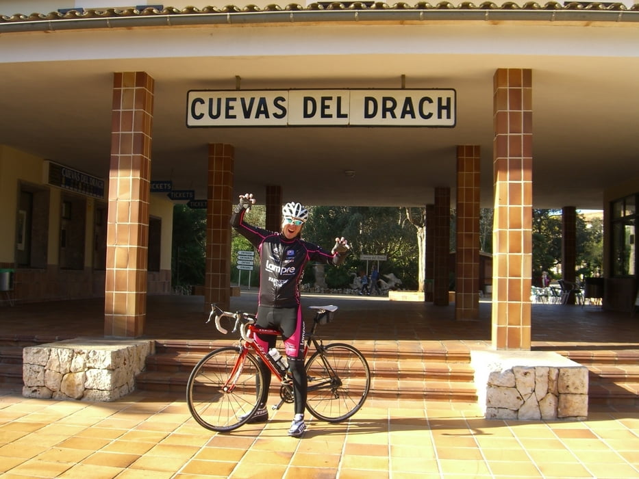
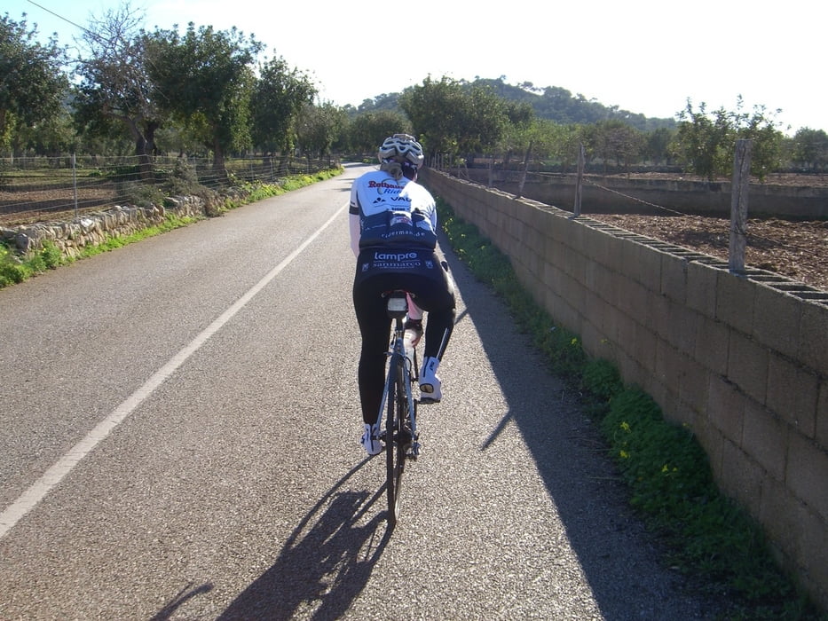
Tour gallery

Tour map and elevation profile

  • Open Street Map
  • Google
Minimum height -2 m Maximum height 482 m Detailed view

More about the tour author

triafreak76
Member since 2012

Send private message

Comments

GPS tracks

Trackpoints
  • GPX / Garmin Map Source (gpx) download
  • TCX / Garmin Training Center® (tcx) download
  • CRS / Garmin Training Center® (crs) download
  • Google Earth (kml) download
  • G7ToWin (g7t) download
  • TTQV (trk) download
  • Overlay (ovl) download
  • Fugawi (txt) download
  • Kompass (DAV) Track (tk) download
  • Track data sheet (pdf) download
  • Original file of the author (gpx) download

More about the tour author

triafreak76
Member since 2012

Send private message
Share track
Add to my favorites
Remove from my favorites
Edit tags
My score
Rate
Track: Mallorca Cala Millor - Sant Salvador Rundkurs 4 h 80km 1200 HM
Type: Road biking
Distance: 80,2 km
Evaluated on:
Duration:
Day(s)
Hour(s)
Minute(s)
Score: Landscape Fun factor Fitness Technique