


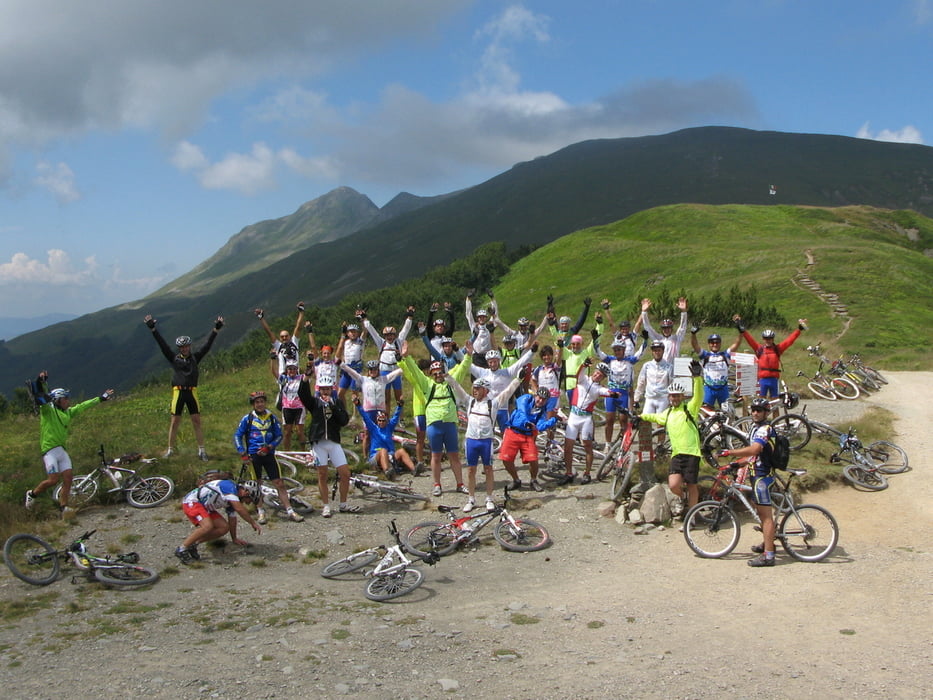
Giro impegnativo classico con partenza dal Parco dell'Orecchiella
con la variante dell'ascesa del Monte Prado.
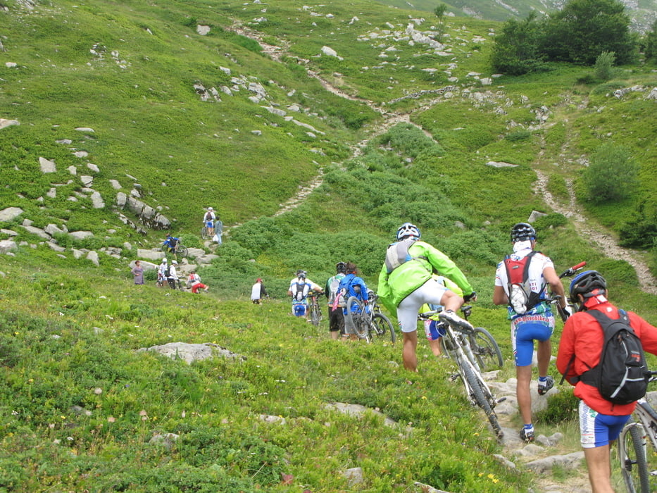
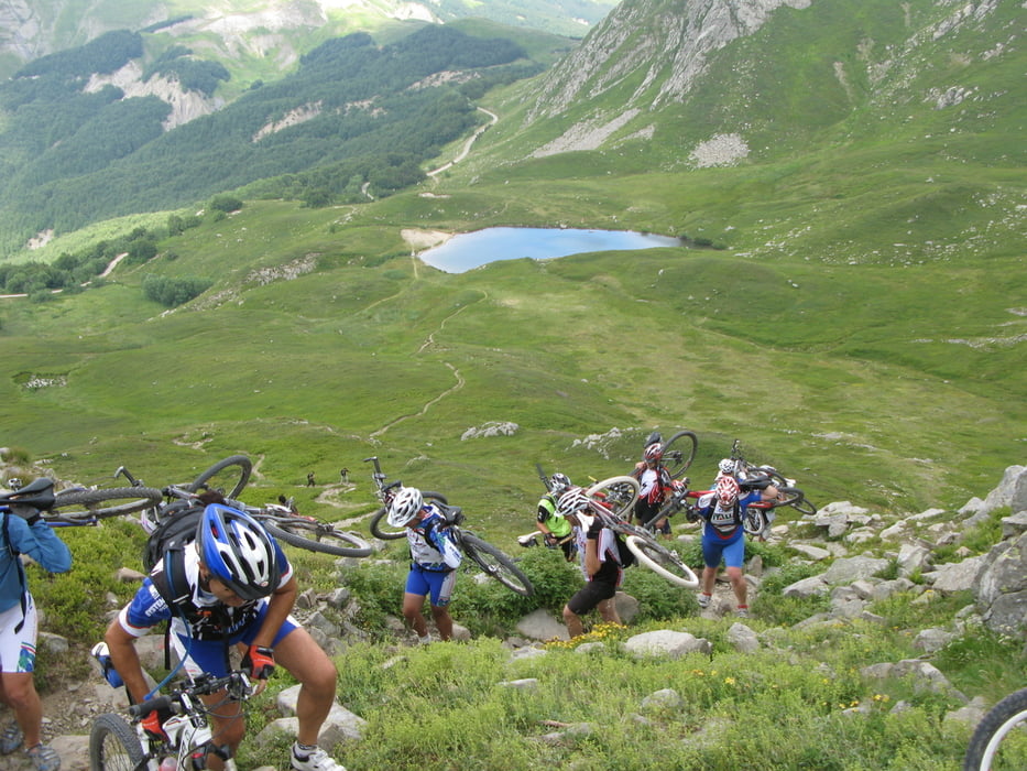
Salita a piedi dal laghetto della Bargetana alla foce del Monte Prado
Rifugio miramonti Orecchiella( 1280m);
sella di Campaiana (1530 m.),
Foce di Terrarossa (1130m)
Casone di Profecchia 1300m,
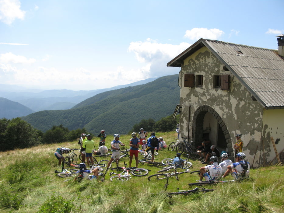
Passo delle forbici (1570m),
Rifugio Abetina reale (1410 m),
Passo di Lama Lite (1760.m),
laghetto Bargetana (1750 m,)
passo Monte Prado ( bici a spalla dal laghetto ) 1890m,
Casini di Corte (1100 m),
Orecchiella
Tour gallery
Tour map and elevation profile
Minimum height 1083 m
Maximum height 1898 m
More about the tour author
|
|
gaddo |
Comments

GPS tracks
Trackpoints-
GPX / Garmin Map Source (gpx) download
-
TCX / Garmin Training Center® (tcx) download
-
CRS / Garmin Training Center® (crs) download
-
Google Earth (kml) download
-
G7ToWin (g7t) download
-
TTQV (trk) download
-
Overlay (ovl) download
-
Fugawi (txt) download
-
Kompass (DAV) Track (tk) download
-
Track data sheet (pdf) download
-
Original file of the author (gpx) download
More about the tour author
|
|
gaddo |
Add to my favorites
Remove from my favorites
Edit tags
Open track
My score
Rate