


Vom Parklpatz an der Kurklinik über die Hochgratstrasse Richtung Scheidegg.
Dort biegen wir rechts ab in die Hochbergstr., dann wieder rechts in die Blümle weiter bis kurz vor die Hauptstrasse.
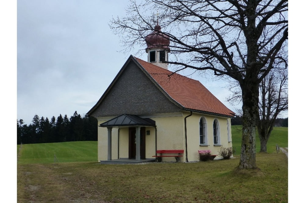
Dort links über den Wiesenweg nach Haus zur Marienkapelle.
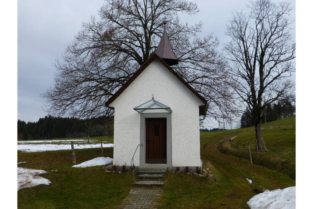
Rechts weiter nach kurzer Strecke überqueren wir die Hauptstr. nach Allmannsried zur Wendelinskapelle in Kinberg.
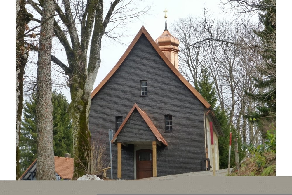
Weiter nach Bieslings zur Gallus-und Magnuskapelle
Zurück nach Scheidegg zur Galluskapelle und von dort zum Ausgangspunkt.
Einkehr : Rosenalm an der Kurklinik
Further information at
http://maps.google.de/maps?hl=de&q=allg%C3%A4u&bav=on.2,or.r_gc.r_pw.r_qf.&bvm=bv.1355534169,d.Yms&bpcl=40096503&biw=1280&bih=656&um=1&ie=UTF-8&sa=N&tab=wlTour gallery
Tour map and elevation profile
Minimum height 716 m
Maximum height 831 m
More about the tour author
|
|
JOGI001 |
Comments

Siehe unten Link
GPS tracks
Trackpoints-
GPX / Garmin Map Source (gpx) download
-
TCX / Garmin Training Center® (tcx) download
-
CRS / Garmin Training Center® (crs) download
-
Google Earth (kml) download
-
G7ToWin (g7t) download
-
TTQV (trk) download
-
Overlay (ovl) download
-
Fugawi (txt) download
-
Kompass (DAV) Track (tk) download
-
Track data sheet (pdf) download
-
Original file of the author (gpx) download
More about the tour author
|
|
JOGI001 |
Add to my favorites
Remove from my favorites
Edit tags
Open track
My score
Rate