

Die Tour 33, St. Antonino von Algajola (Bike Guide Korsika / Rother Verlag) und die Küstentrails (www.gps-tour.info/de/touren/detail.102477.html) haben mich gemeinsam mit unseren Ausflügen zu dieser Tour inspiriert. Leider hatte ich keine Zeit mehr, diese auszuprobieren, desshalb muß ich es als Projekt bezeichnen. Vielleich will's ja jemand mal wissen...
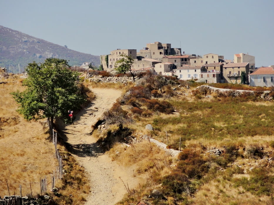
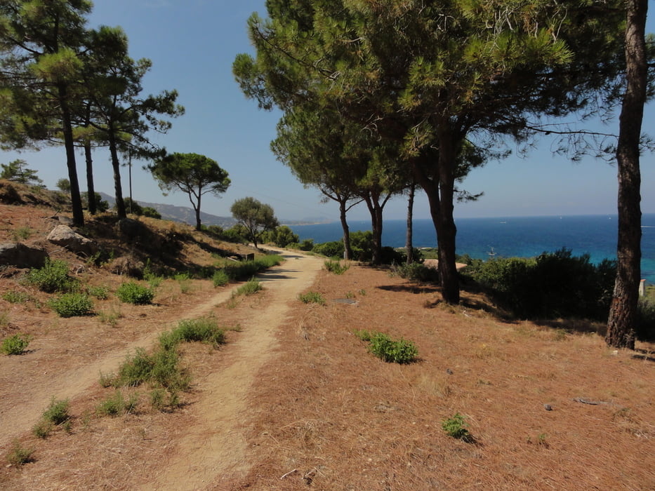
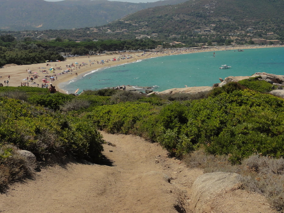
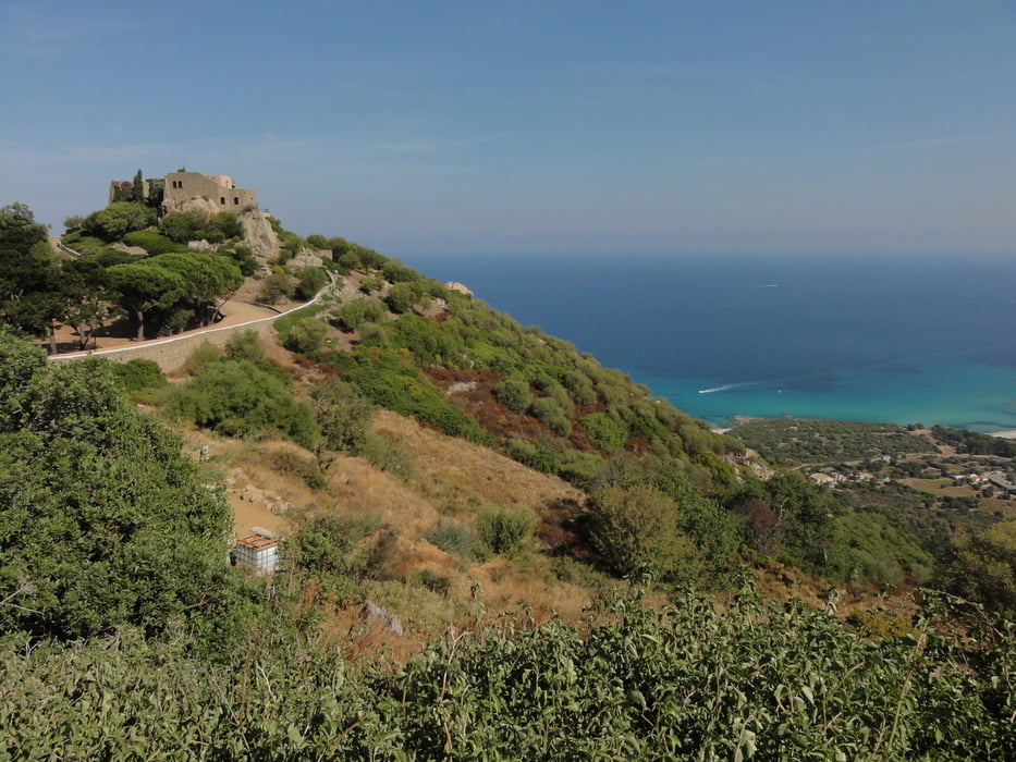
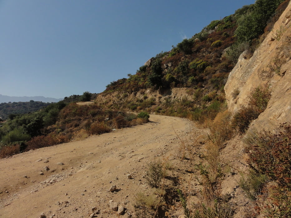
Ich stelle mir das nett vor. Am Strand entlang nach Algajola, dann zuerst noch etwas weiter am Strand, weiter hinauf nach St.Antonino über Corbara, grossteils auf Sandwegen/Strassen. Von St.Antonino geht es dann bequem auf Asphalt, grossteils bergab, über Lumio zurück nach Calvi.
Wie gesagt, teilweise erprobt, im Ganzen noch nicht durchgefahren - also alles Gute!
Tour gallery
Tour map and elevation profile
Minimum height 5 m
Maximum height 466 m
More about the tour author

|
wokka |
Comments

GPS tracks
Trackpoints-
GPX / Garmin Map Source (gpx) download
-
TCX / Garmin Training Center® (tcx) download
-
CRS / Garmin Training Center® (crs) download
-
Google Earth (kml) download
-
G7ToWin (g7t) download
-
TTQV (trk) download
-
Overlay (ovl) download
-
Fugawi (txt) download
-
Kompass (DAV) Track (tk) download
-
Track data sheet (pdf) download
-
Original file of the author (gpx) download
More about the tour author
|
|
wokka |
Add to my favorites
Remove from my favorites
Edit tags
Open track
My score
Rate