Login

Forgot your login?

Cookies have to be accepted!
Your browser's cookie functionality is disabled. Please enable this functionality.

Not a member yet?

Register now
Login

Available for registred users only

Log in to use this feature.

Forgot your login?

Cookies have to be accepted!
Your browser's cookie functionality is disabled. Please enable this functionality.

Not a member yet?

Register now
Filter
Categories
Advanced filters
  • Distance (km)
  • Height
Save filters Reset filter

TrackRank

QRCode

Technical data

Distance36,2 km Height831 m Way down862 m Duration02:15 h:m Date30.09.2007
Scores Author Landscape Fun factor Fitness Technique

Statistics

1666 Views 1 Score 357 Downloads 5.00 Average
Rate
  • Track data sheet
  • Directions
  • Downloads
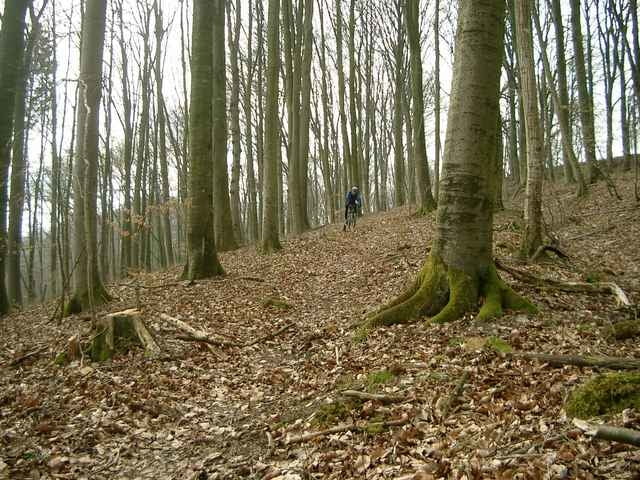
Schöne recht anspruchsvolle Trailtour durch den Stromberg
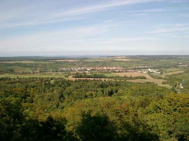
Höchster Punkt ist der Baiselsberg.

Tour gallery

Tour map and elevation profile

  • Open Street Map
  • Google
Minimum height 208 m Maximum height 452 m Detailed view

More about the tour author

Uli
Member since 2005

Send private message

Comments

Gestartet wird in Weiler beim Backhäusle wo es auch Parkplätze gibt.

GPS tracks

Trackpoints
  • GPX / Garmin Map Source (gpx) download
  • TCX / Garmin Training Center® (tcx) download
  • CRS / Garmin Training Center® (crs) download
  • Google Earth (kml) download
  • G7ToWin (g7t) download
  • TTQV (trk) download
  • Overlay (ovl) download
  • Fugawi (txt) download
  • Kompass (DAV) Track (tk) download
  • Track data sheet (pdf) download

More about the tour author

Uli
Member since 2005

Send private message
Share track
Add to my favorites
Remove from my favorites
Edit tags
My score
Rate
Track: Trailtour durch den Stromberg
Type: Mountain bike
Distance: 36,2 km
Evaluated on:
Duration:
Day(s)
Hour(s)
Minute(s)
Score: Landscape Fun factor Fitness Technique