Login

Forgot your login?

Cookies have to be accepted!
Your browser's cookie functionality is disabled. Please enable this functionality.

Not a member yet?

Register now
Login

Available for registred users only

Log in to use this feature.

Forgot your login?

Cookies have to be accepted!
Your browser's cookie functionality is disabled. Please enable this functionality.

Not a member yet?

Register now
Filter
Categories
Advanced filters
  • Distance (km)
  • Height
Save filters Reset filter

TrackRank

QRCode

Technical data

Distance47,0 km Height702 m Way down646 m Duration06:00 h:m Date14.01.2013
Scores Author Landscape Fun factor Fitness Technique

Statistics

2424 Views 1 Score 319 Downloads 4.00 Average
Rate
  • Track data sheet
  • Directions
  • Downloads

Mountainbiketour - auch für Einsteiger

Ausgangspunkt und Ziel ist Arco

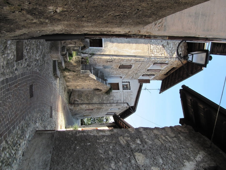
Tour beginnt mit Anstieg bis nach Braila, einer kleinen Ansiedlung in den Bergen oberhalb von Dro - gegenüber der Sonnenplatten

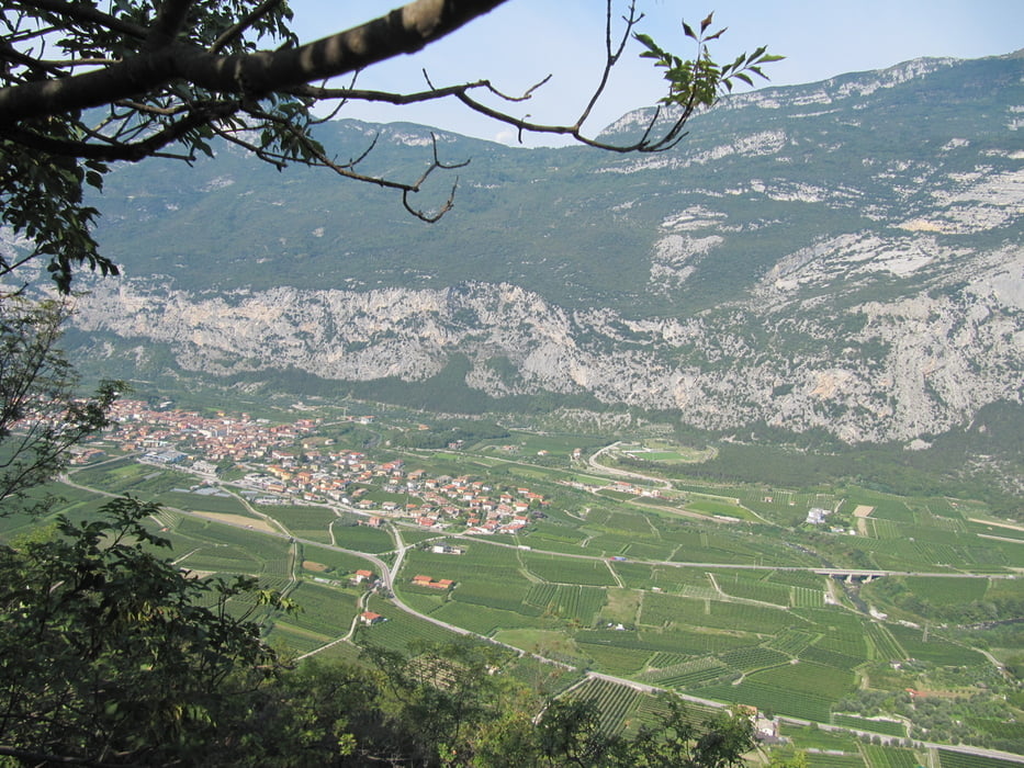
von Braila Abfahrt bis nach Drena

weiter in Richtung Lago di Cavedine und Lago di Toblino

Einkehrmöglichkeit in Sarche, Rückweg über Radweg durch das Sarcatal nach Arco

Tour gallery

Tour map and elevation profile

  • Open Street Map
  • Google
Minimum height 36 m Maximum height 535 m Detailed view

More about the tour author

schwaran
Member since 2012

Send private message

Comments

über Trento durch das Sarcatal nach Arco


GPS tracks

Trackpoints
  • GPX / Garmin Map Source (gpx) download
  • TCX / Garmin Training Center® (tcx) download
  • CRS / Garmin Training Center® (crs) download
  • Google Earth (kml) download
  • G7ToWin (g7t) download
  • TTQV (trk) download
  • Overlay (ovl) download
  • Fugawi (txt) download
  • Kompass (DAV) Track (tk) download
  • Track data sheet (pdf) download
  • Original file of the author (gpx) download

More about the tour author

schwaran
Member since 2012

Send private message
Share track
Add to my favorites
Remove from my favorites
Edit tags
My score
Rate
Track: Durchs Sarcatal
Type: Mountain bike
Distance: 47,0 km
Evaluated on:
Duration:
Day(s)
Hour(s)
Minute(s)
Score: Landscape Fun factor Fitness Technique