Login

Forgot your login?

Cookies have to be accepted!
Your browser's cookie functionality is disabled. Please enable this functionality.

Not a member yet?

Register now
Login

Available for registred users only

Log in to use this feature.

Forgot your login?

Cookies have to be accepted!
Your browser's cookie functionality is disabled. Please enable this functionality.

Not a member yet?

Register now
Filter
Categories
Advanced filters
  • Distance (km)
  • Height
Save filters Reset filter

TrackRank

QRCode

Technical data

Distance57,1 km Height911 m Way down932 m Duration04:00 h:m Date27.01.2013
Scores Author Landscape Fun factor Fitness Technique

Statistics

379 Views Scores 58 Downloads Average
Rate
  • Track data sheet
  • Directions
  • Downloads
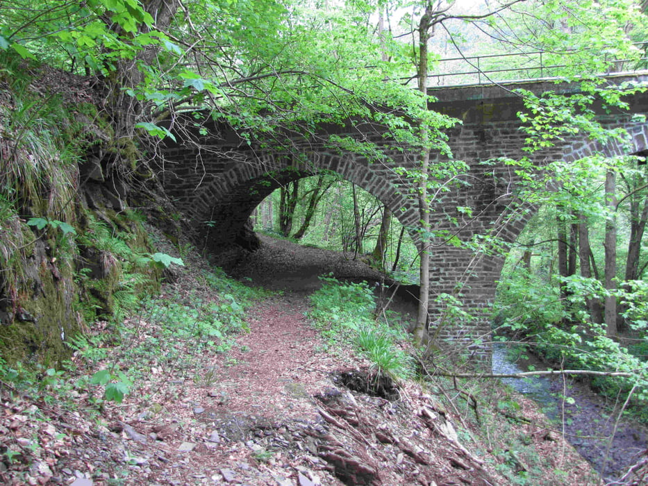
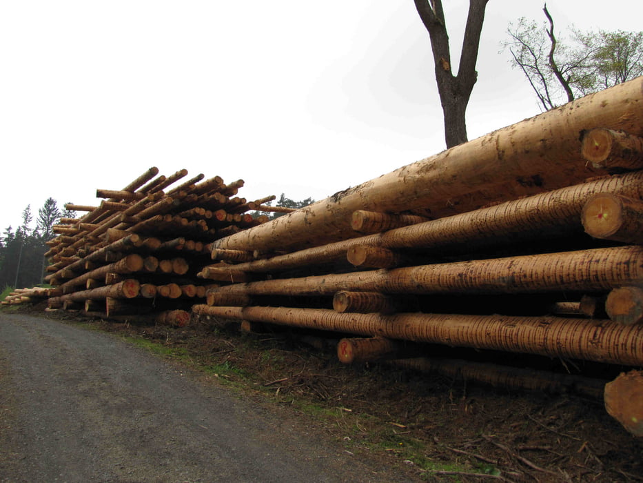
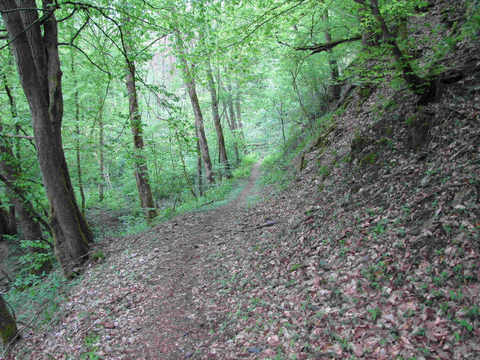
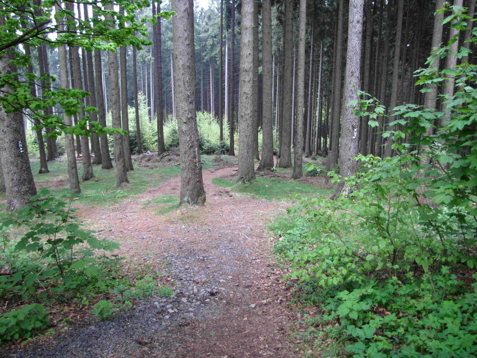
Abwechslungsreiche Tour auf Waldwegen über dem größten Tonvorkommen Europas. Trails entlang des Limes' und vieler kleiner Bäche wechseln sich ab mit Panoramawegen oberhalb des Rheins und vorbei an uralten Burgen.

Tour gallery

Tour map and elevation profile

  • Open Street Map
  • Google
Minimum height 83 m Maximum height 529 m Detailed view

More about the tour author

ablees
Member since 2008

Send private message

Comments

GPS tracks

Trackpoints
  • GPX / Garmin Map Source (gpx) download
  • TCX / Garmin Training Center® (tcx) download
  • CRS / Garmin Training Center® (crs) download
  • Google Earth (kml) download
  • G7ToWin (g7t) download
  • TTQV (trk) download
  • Overlay (ovl) download
  • Fugawi (txt) download
  • Kompass (DAV) Track (tk) download
  • Track data sheet (pdf) download
  • Original file of the author (gpx) download

More about the tour author

ablees
Member since 2008

Send private message
Share track
Add to my favorites
Remove from my favorites
Edit tags
My score
Rate
Track: Kannenbäckerland
Type: Mountain bike
Distance: 57,1 km
Evaluated on:
Duration:
Day(s)
Hour(s)
Minute(s)
Score: Landscape Fun factor Fitness Technique