Login

Forgot your login?

Cookies have to be accepted!
Your browser's cookie functionality is disabled. Please enable this functionality.

Not a member yet?

Register now
Login

Available for registred users only

Log in to use this feature.

Forgot your login?

Cookies have to be accepted!
Your browser's cookie functionality is disabled. Please enable this functionality.

Not a member yet?

Register now
Filter
Categories
Advanced filters
  • Distance (km)
  • Height
Save filters Reset filter

TrackRank

QRCode

Technical data

Distance12,9 km Height45 m Way down57 m Duration03:15 h:m Date28.01.2013
Scores Author Landscape Fun factor Fitness Technique

Statistics

287 Views Scores 30 Downloads Average
Rate
  • Track data sheet
  • Directions
  • Downloads
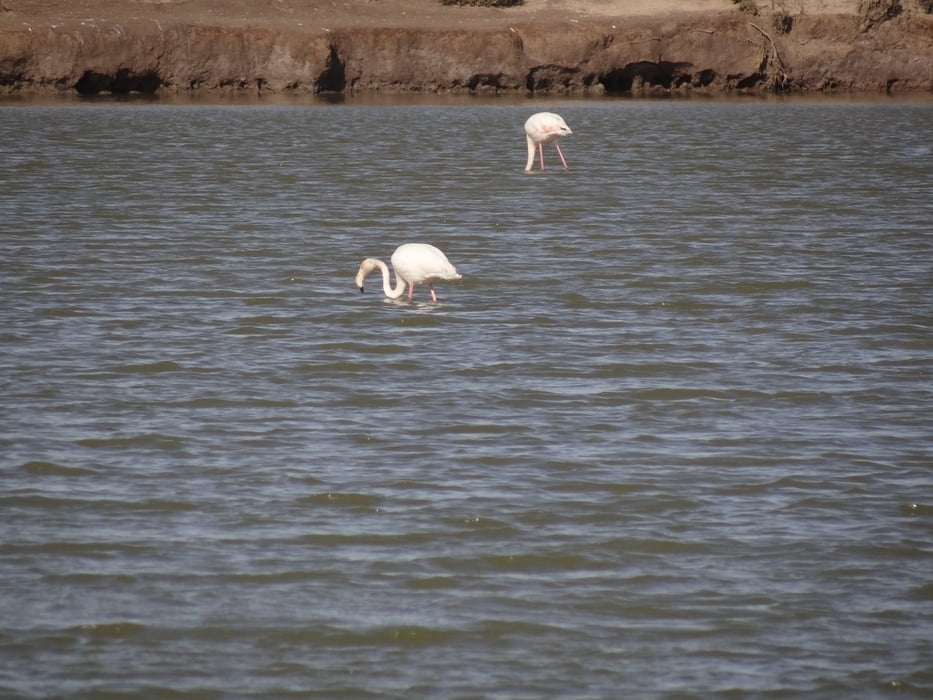
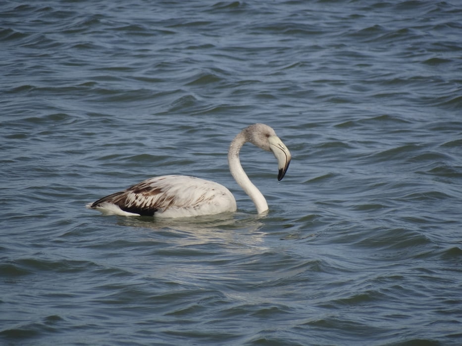
Een wandeltocht langs het strand en de salinas van San Pedro. Ervaar hoe hier zout gewonnen wordt uit zeewater. Geniet van de mooie natuur en de vele vogels die gebruik maken van de unieke ondiepe salinas.

Tour gallery

Tour map and elevation profile

  • Open Street Map
  • Google
Minimum height Maximum height 14 m Detailed view

More about the tour author

eddavids
Member since 2012

Send private message

Comments

GPS tracks

Trackpoints
  • GPX / Garmin Map Source (gpx) download
  • TCX / Garmin Training Center® (tcx) download
  • CRS / Garmin Training Center® (crs) download
  • Google Earth (kml) download
  • G7ToWin (g7t) download
  • TTQV (trk) download
  • Overlay (ovl) download
  • Fugawi (txt) download
  • Kompass (DAV) Track (tk) download
  • Track data sheet (pdf) download
  • Original file of the author (gpx) download

More about the tour author

eddavids
Member since 2012

Send private message
Share track
Add to my favorites
Remove from my favorites
Edit tags
My score
Rate
Track: San Pedro del Pinatar
Type: Hiking
Distance: 12,9 km
Evaluated on:
Duration:
Day(s)
Hour(s)
Minute(s)
Score: Landscape Fun factor Fitness Technique