


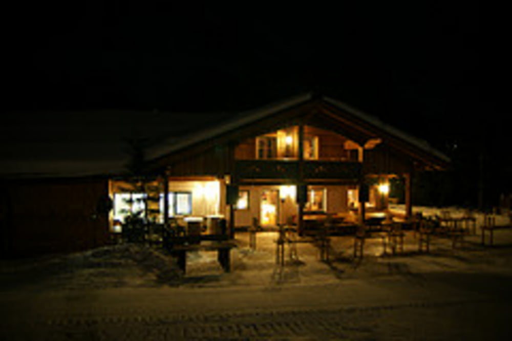
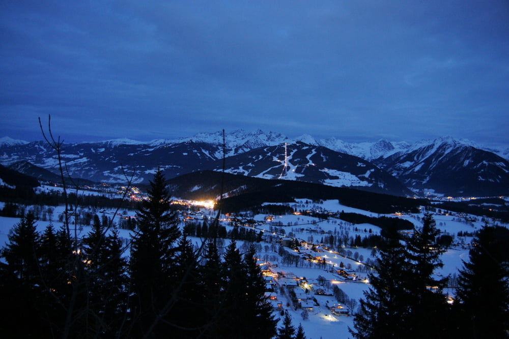
Etwa 3mal in der Woche wird aus der Märchenabfahrt - Skigebiet Rittisberg in Ramsau am Dachstein – am Abend ab 19 Uhr eine gut beleuchtete Nachtrodelbahn. Die 3 km lange Naturrodelbahn ist aufgrund der gleichmäßigen 10%igen Steigung und der guten Präparierung sehr familienfreundlich. Für kleinere Kinder sind die Märchenfiguren neben der Rodelbahn sehr interessant.
Weitere Infos und Fotos findest du auf biketours4you.at
Tour gallery
Tour map and elevation profile
Minimum height 1181 m
Maximum height 1489 m
More about the tour author
|
|
Trek1400d |
Comments

GPS tracks
Trackpoints-
GPX / Garmin Map Source (gpx) download
-
TCX / Garmin Training Center® (tcx) download
-
CRS / Garmin Training Center® (crs) download
-
Google Earth (kml) download
-
G7ToWin (g7t) download
-
TTQV (trk) download
-
Overlay (ovl) download
-
Fugawi (txt) download
-
Kompass (DAV) Track (tk) download
-
Track data sheet (pdf) download
-
Original file of the author (gpx) download
More about the tour author
|
|
Trek1400d |
Add to my favorites
Remove from my favorites
Edit tags
Open track
My score
Rate