


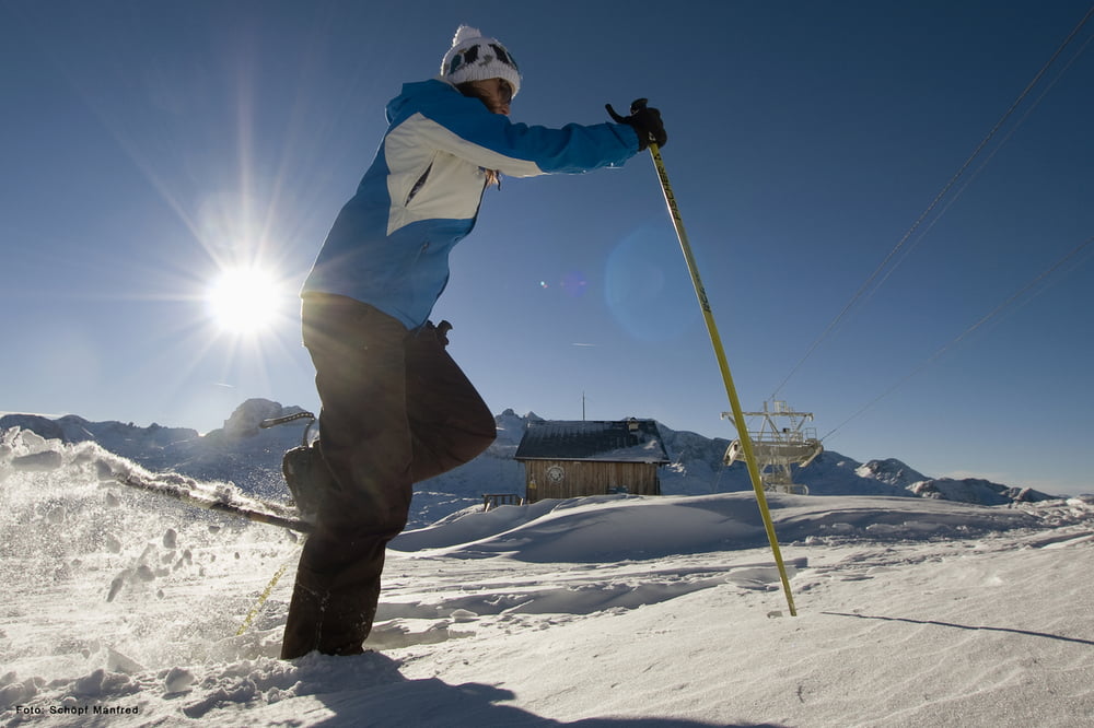
Von der Bergstation der Krippensteinseilbahn folgt man einfa dem Markiertenweg (Gelbetafeln mit Schneeschuhgeher)
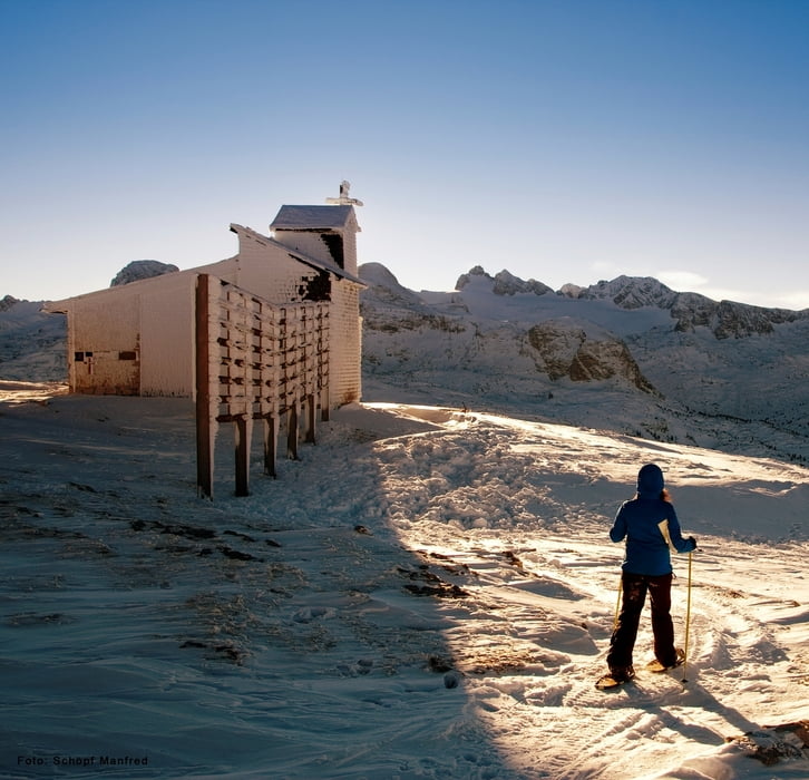
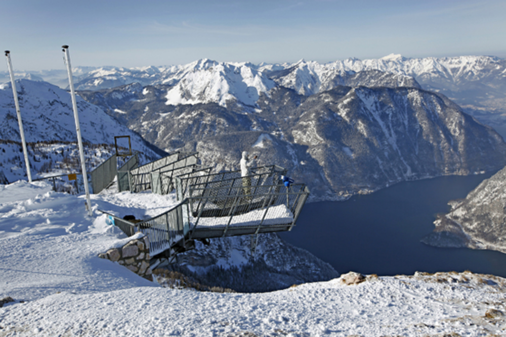
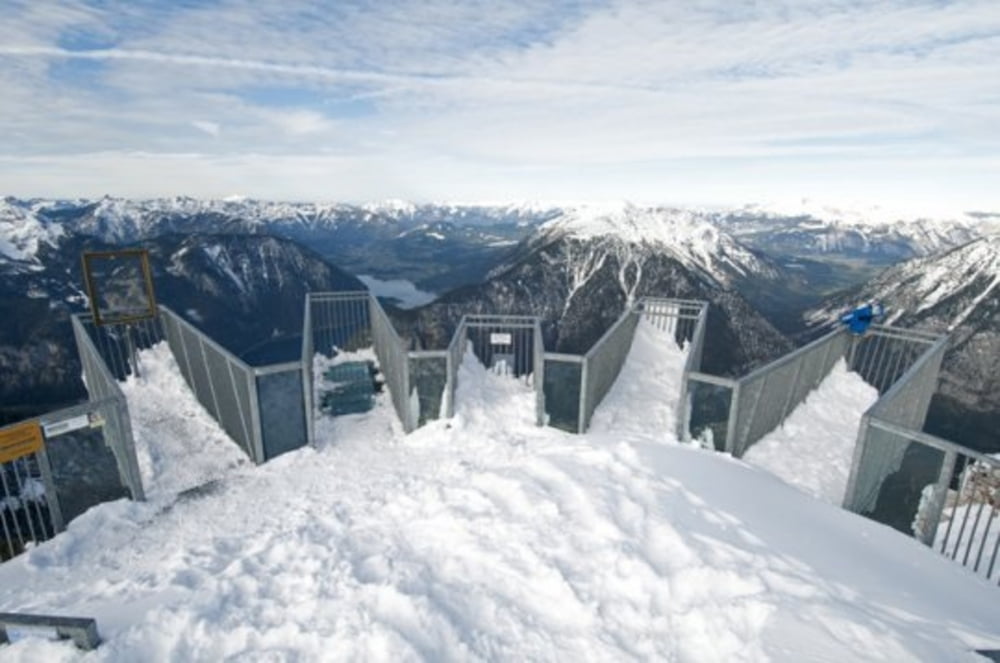
Nach ca. 15 min erreicht man den Gipfel des Hohen Krippenstein dort befindet sich auch die Aussichtsplatform Welterbespirale und die Heilbronnerkapelle.
Nun führt der Weg immer den Makierungen folgend, leicht abwärts bis zu den Five Fingers und dem Pionierkreuz.
Am selben Weg zurück zur Bergstation der Krippensteinbahn.
Tour gallery
Tour map and elevation profile
Minimum height 2022 m
Maximum height 2097 m
More about the tour author
|
|
Dachstein-Outdoor |
Comments

Nach Obertraun zur Talstation der Krippensteinseilbahn.
GPS tracks
Trackpoints-
GPX / Garmin Map Source (gpx) download
-
TCX / Garmin Training Center® (tcx) download
-
CRS / Garmin Training Center® (crs) download
-
Google Earth (kml) download
-
G7ToWin (g7t) download
-
TTQV (trk) download
-
Overlay (ovl) download
-
Fugawi (txt) download
-
Kompass (DAV) Track (tk) download
-
Track data sheet (pdf) download
-
Original file of the author (gpx) download
More about the tour author
|
|
Dachstein-Outdoor |
Add to my favorites
Remove from my favorites
Edit tags
Open track
My score
Rate