


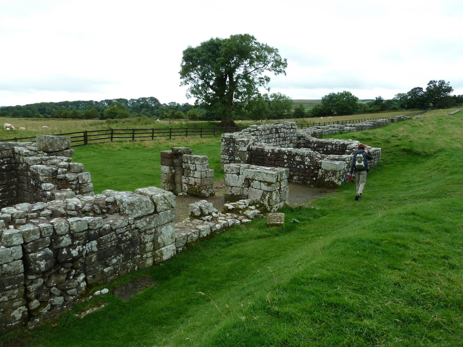
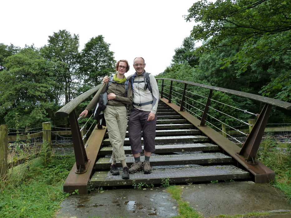
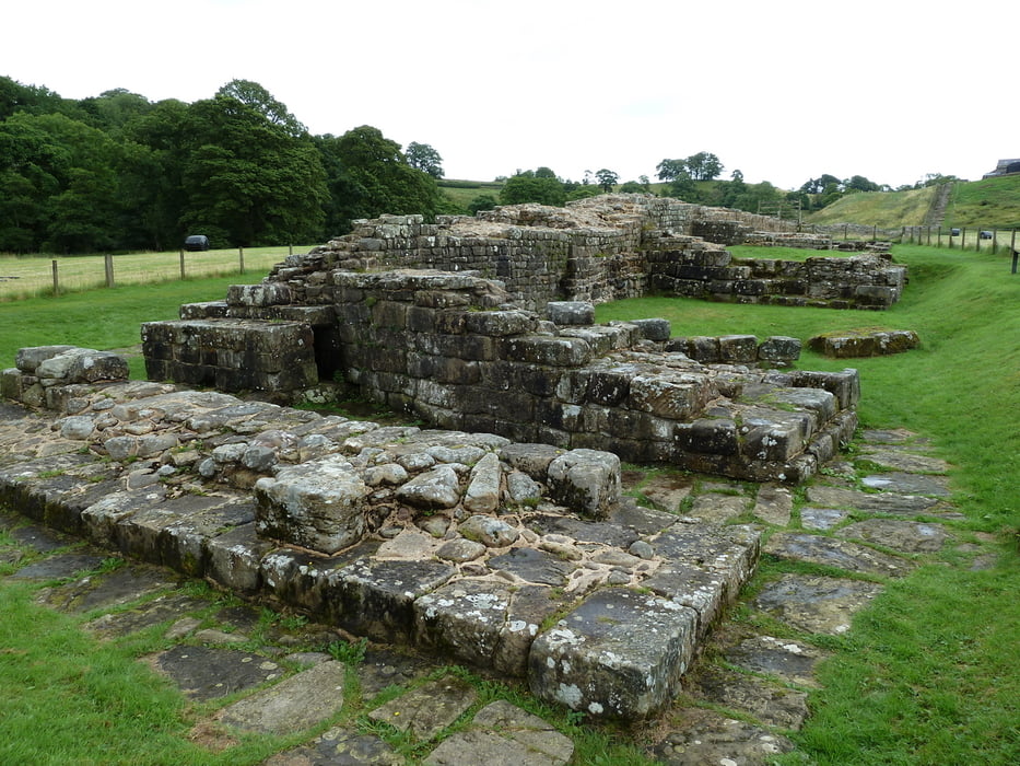
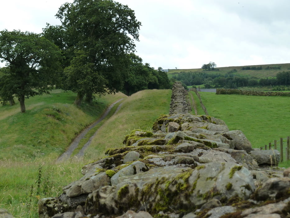
This hiking tour takes you on a round trip from Gilsland to Birdoswald Roman Fort. On the way back the track follows the line of Hadrian's Wall, crossing the River Irthing over a new footbridge. The remains of the ancient Roman bridge can be visited along this walk.
The total duration of 3 hours includes a visit to Birdoswald Roman Fort, an excarvation site managed by English Heritage. A small but interesting museum is included on site.
Refreshments can be found at Gilsland and Birdoswald.
The track starts and ends at a free car park at Gilsland.
If weather is good the track can be extended by a walk through the woods east of Gilsland to the Popping Stone. However, we have no gps-recording of this additional loop because the paths were too muddy due to heavy rain.
Further information at
http://www.english-heritage.org.uk/daysout/properties/birdoswald-roman-fort-hadrians-wall/Tour gallery
Tour map and elevation profile
Minimum height 103 m
Maximum height 152 m
More about the tour author
|
|
Kretakulk |
Comments

Parking spaces can be found at Birdoswald or Gilsland. However, the car park at Gilsland might be preferred because it is free of charge.
GPS tracks
Trackpoints-
GPX / Garmin Map Source (gpx) download
-
TCX / Garmin Training Center® (tcx) download
-
CRS / Garmin Training Center® (crs) download
-
Google Earth (kml) download
-
G7ToWin (g7t) download
-
TTQV (trk) download
-
Overlay (ovl) download
-
Fugawi (txt) download
-
Kompass (DAV) Track (tk) download
-
Track data sheet (pdf) download
-
Original file of the author (gpx) download
More about the tour author
|
|
Kretakulk |
Add to my favorites
Remove from my favorites
Edit tags
Open track
My score
Rate