Login

Forgotten password?

Cookies have to be accepted!
Your browser's cookie functionality is disabled. Please enable this functionality.

Not a member yet?

Register now
Login

Available for registred users only

Log in to use this feature.

Forgotten password?

Cookies have to be accepted!
Your browser's cookie functionality is disabled. Please enable this functionality.

Not a member yet?

Register now
Filter
Categories
Advanced filters
  • Distance (km)
  • Height
Save filters Reset filter

TrackRank

QRCode

Technical data

Distance38,0 km Height4500 m Way down4322 m Duration1 day 0 h Date12.02.2013
Scores Author Landscape Fun factor Fitness Technique

Statistics

1067 Views Scores 61 Downloads Average
Rate
  • Track data sheet
  • Directions
  • Downloads

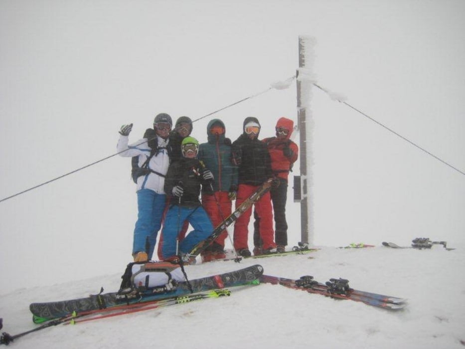
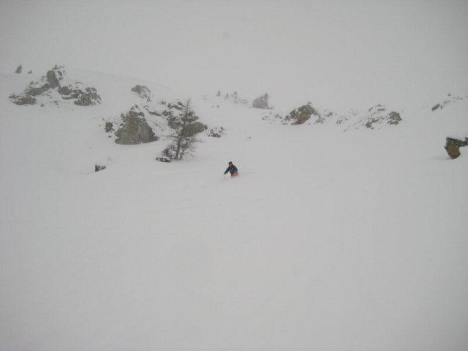
Freeridetag in Obertauern. Tolle Runs und Rinnen.

ACHTUNG: Lawinen-und Wetterbericht beachten. LVS Ausrüstung und Alpine Erfahrung zwingend nötig.


Tour gallery

Tour map and elevation profile

  • Open Street Map
  • Google
Minimum height 1627 m Maximum height 2298 m Detailed view

More about the tour author

prokulus
Member since 2009

Send private message

Comments

München A8 Salzburg - Tauernautubahn bis Altenmarkt - iin Radstadt nach Obertauern

ACHTUNG: Winterausrüstung!


GPS tracks

Trackpoints
  • GPX / Garmin Map Source (gpx) download
  • TCX / Garmin Training Center® (tcx) download
  • CRS / Garmin Training Center® (crs) download
  • Google Earth (kml) download
  • G7ToWin (g7t) download
  • TTQV (trk) download
  • Overlay (ovl) download
  • Fugawi (txt) download
  • Kompass (DAV) Track (tk) download
  • Track data sheet (pdf) download
  • Original file of the author (gpx) download

More about the tour author

prokulus
Member since 2009

Send private message
Share track
Add to my favorites
Remove from my favorites
Edit tags
My score
Rate
Track: Ski Freeride Obertauern Seekareck Hundskogel Zehner Goldrinne
Type: Ski touring
Distance: 38,0 km
Evaluated on:
Duration:
Day(s)
Hour(s)
Minute(s)
Score: Landscape Fun factor Fitness Technique