Login

Forgotten password?

Cookies have to be accepted!
Your browser's cookie functionality is disabled. Please enable this functionality.

Not a member yet?

Register now
Login

Available for registred users only

Log in to use this feature.

Forgotten password?

Cookies have to be accepted!
Your browser's cookie functionality is disabled. Please enable this functionality.

Not a member yet?

Register now
Filter
Categories
Advanced filters
  • Distance (km)
  • Height
Save filters Reset filter

TrackRank

QRCode

Technical data

Distance5,5 km Height363 m Way down536 m Duration04:00 h:m Date13.02.2013
Scores Author Landscape Fun factor Fitness Technique

Statistics

1010 Views 3 Scores 66 Downloads 4.00 Average
Rate
  • Track data sheet
  • Directions
  • Downloads

Start und Ziel: Valle Gran Rey, El Guro

vorbei an Ermita de los Reyes auf GR 132

an ein paar kleinen Häusern rechts abbiegen auf den Weg, welcher steil ansteigt  (hier Trackbeginn)

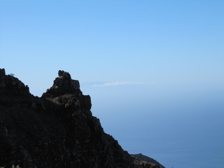
bis zur Kammhöhe Degolla da del Cerrillal - dort Weggabelung - links halten bis zu einer markanten Kammscharte, dort auf die Talseite (Valle Gran Rey) entlang der Felsenbänder

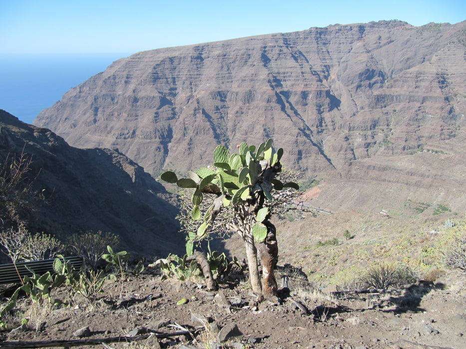
steil hinab nach La Vizcaina - evtl. Stöcke hilfreich

hier Einkehrmöglichkeit

entlang der Straße nach El Guro zurück


Tour gallery

Tour map and elevation profile

  • Open Street Map
  • Google
Minimum height 124 m Maximum height 662 m Detailed view

More about the tour author

schwaran
Member since 2012

Send private message

Comments

Islandmen on 27.12.2014

Abstieg nicht ungefährlich!

Ich bin heute den Track gewandert. Der Aufstieg ist relativ einfach und die Aussicht grandios. Der Weg entlang der Felsbänder und der Abstieg hinunter ins Tal sind aber nicht ohne ! Trittsicherheit und Schwinderfreiheit sind unbedingt notwendig. Es besteht Steinschlaggefahr und an ein paar Stellen ist der Weg abgerutscht oder verschüttet. Keine Wanderung für ungeübte !
Rother Wanderführer "La Gomera", Wanderung 26

GPS tracks

Trackpoints
  • GPX / Garmin Map Source (gpx) download
  • TCX / Garmin Training Center® (tcx) download
  • CRS / Garmin Training Center® (crs) download
  • Google Earth (kml) download
  • G7ToWin (g7t) download
  • TTQV (trk) download
  • Overlay (ovl) download
  • Fugawi (txt) download
  • Kompass (DAV) Track (tk) download
  • Track data sheet (pdf) download
  • Original file of the author (gpx) download

More about the tour author

schwaran
Member since 2012

Send private message
Share track
Add to my favorites
Remove from my favorites
Edit tags
My score
Rate
Track: Ermita de los Reyes - La Vizcaina
Type: Hiking
Distance: 5,5 km
Evaluated on:
Duration:
Day(s)
Hour(s)
Minute(s)
Score: Landscape Fun factor Fitness Technique