


Beginn in La Calera im Valle Gran Rey
auf dem GR 132 geht es bergauf in Serpentinen bis zur Hochfläche La Merica
herrliche Ausblicke über die Insel und zu den Nachbarinseln El Hierro und La Palma
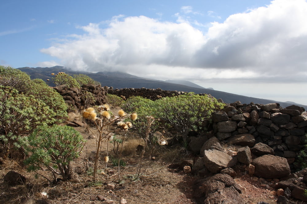
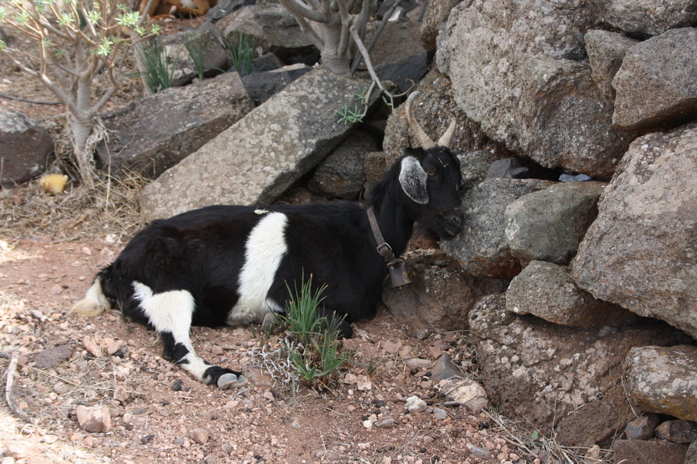
über die sanft ansteigende Hochfläche geht es bis zur Felsengruppe und von dort durch Felsen und Höhlen mit Ziegenställen bis nach Arure
in Arure Einkerhmöglichkeit
von Arure zum Teil über die alte Straße, die neue Straße querend hinunter ins Valle Gran Rey zurück
Tour gallery


Tour map and elevation profile
Minimum height 25 m
Maximum height 863 m
More about the tour author
|
|
schwaran |
Comments

Rother Wanderführer „La Gomera“ Wanderung 31
GPS tracks
Trackpoints-
GPX / Garmin Map Source (gpx) download
-
TCX / Garmin Training Center® (tcx) download
-
CRS / Garmin Training Center® (crs) download
-
Google Earth (kml) download
-
G7ToWin (g7t) download
-
TTQV (trk) download
-
Overlay (ovl) download
-
Fugawi (txt) download
-
Kompass (DAV) Track (tk) download
-
Track data sheet (pdf) download
-
Original file of the author (gpx) download
More about the tour author
|
|
schwaran |
Add to my favorites
Remove from my favorites
Edit tags
Open track
My score
Rate