


Start und Ziel ist Chipude
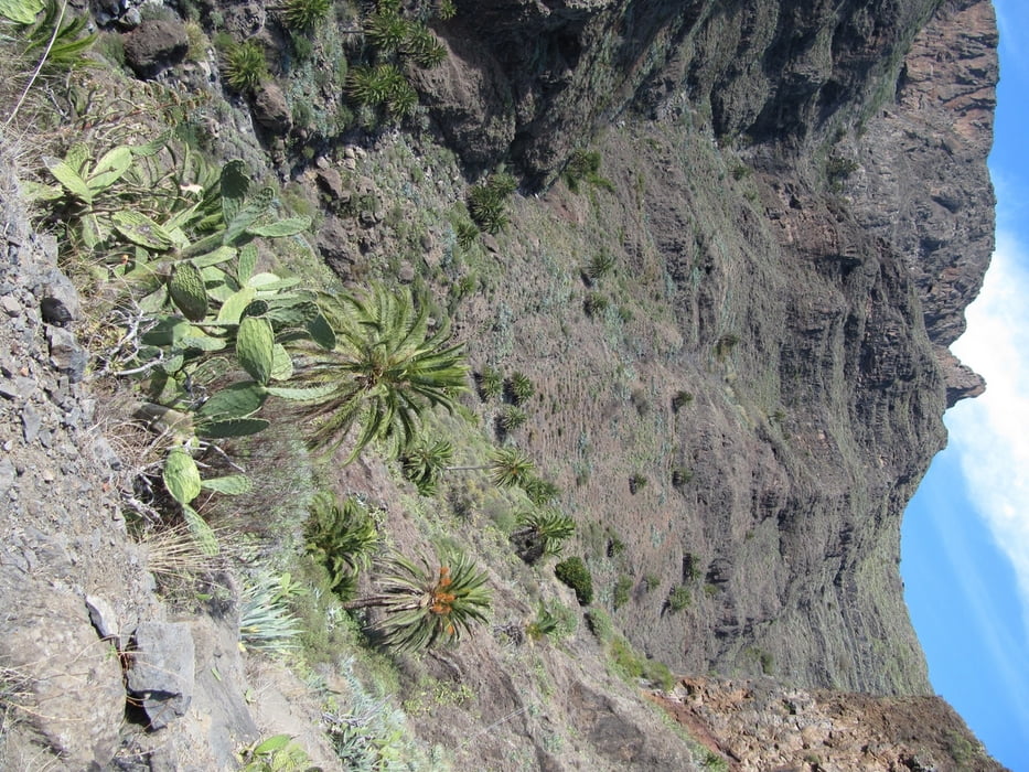
es ist eine abenteuerliche Wanderung mit Kraxeleien auf zum Teil mit Kakteen verwachsenen Wegen
Trittsicherheit unbedingt erforderlich, wenn man keine Bekanntschaft mit den Kakteen und anderen Gewächsen schließen will
Stöcke bedingt empfehlenswert, da auch freie Hände gebraucht werden
von Chipude an der Fortaleza vorbei
hinter den Häusern geht es steil hinab in die Schlucht von Erque
über ein paar kleine Bäche wieder bergan in Richtung Erquito
da die Ausschilderung eher mäßig und auch die Wege z. T. schlecht zu erkennen sind, ist es am einfachsten dem Track zu folgen
vorbei an der Ermita de San Lorenzo geht es nun auf dem GR 132.1 wieder bergan in Richtung Mirador de Igualero - der Weg zieht sich allerdings
beim Mirador kommen wir auf den GR 131 und wandern von dort zurück nach Chipude
Tour gallery


Tour map and elevation profile
Minimum height 711 m
Maximum height 1265 m
More about the tour author
|
|
schwaran |
Comments

Rother Wanderführer „La Gomera“ Wanderung 17
GPS tracks
Trackpoints-
GPX / Garmin Map Source (gpx) download
-
TCX / Garmin Training Center® (tcx) download
-
CRS / Garmin Training Center® (crs) download
-
Google Earth (kml) download
-
G7ToWin (g7t) download
-
TTQV (trk) download
-
Overlay (ovl) download
-
Fugawi (txt) download
-
Kompass (DAV) Track (tk) download
-
Track data sheet (pdf) download
-
Original file of the author (gpx) download
More about the tour author
|
|
schwaran |
Add to my favorites
Remove from my favorites
Edit tags
Open track
My score
Rate