


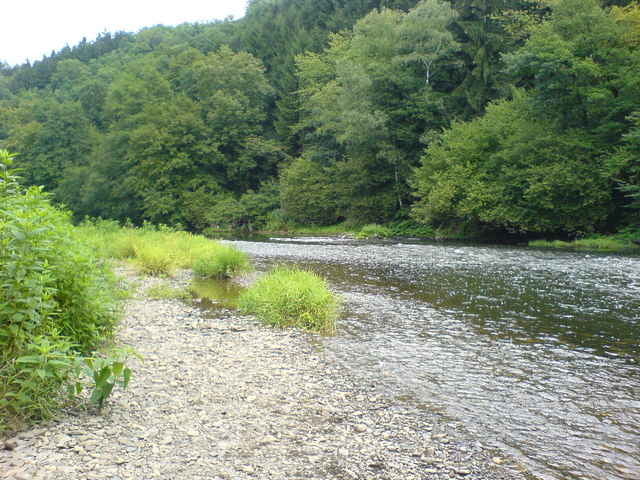
Schöne Tour auf geteerten Wegen. Von Hamm Ortsmitte nach Rosbach. Von dort in Richtung Waldbröl. Auf der Höhe links ab auf die Nutscheidstrasse. Nach kurzer Zeit rechts den Wald hinunter nach Niederhausen. Dort auf den Radweg entlang der B 478 nach Ruppichteroth. Am Ortsausgang Ruppichteroth links auf den Radweg bis Schönenberg. In Schönenberg links ab in Richtung Halft. Von dort auf den Siegradweg und über Herchen, Dattenfeld, Rosbach wieder zurück nach Hamm.
Tour gallery
Tour map and elevation profile
Minimum height 89 m
Maximum height 362 m
More about the tour author
|
|
hajorenner |
Comments

GPS tracks
Trackpoints-
GPX / Garmin Map Source (gpx) download
-
TCX / Garmin Training Center® (tcx) download
-
CRS / Garmin Training Center® (crs) download
-
Google Earth (kml) download
-
G7ToWin (g7t) download
-
TTQV (trk) download
-
Overlay (ovl) download
-
Fugawi (txt) download
-
Kompass (DAV) Track (tk) download
-
Track data sheet (pdf) download
-
Original file of the author (gpx) download
More about the tour author
|
|
hajorenner |
Add to my favorites
Remove from my favorites
Edit tags
Open track
My score
Rate