


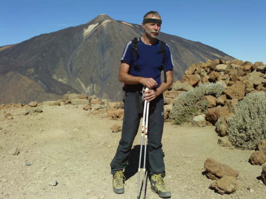
Am Sitz der Parkverwaltung ist ein großer Parkplatz und der Start des Weges. Ausgeschildert ist er in Richtung Villa Flora. Zuerst gehen wir noch auf der breiten Parkstraße durch eine verwunschene Landschaft. An der Sonnenseite biegt er dann rechts ab bei einer großen Infotafel. Am Pass oben angekommen biegen wir rechts ab und gehen den Steinmännchen weiter nach oben.
Laut Infotafel soll man den gleichen Weg zurück laufen, Aha! Wir gehen nach einer ausgiebigen Rast mit Blick auf die Nachbarinseln in Richtung Teide auf einen gut sichtbaren Pfad, Am Anfang gibt es sehr leichte Blockkletterei, danach wird es etwas ausgesetzt und dann ist es einfach zurück zu finden. Der Parkplatz ist jetzt ständig im Blickfeld.
Tour gallery

Tour map and elevation profile
Minimum height 2144 m
Maximum height 2734 m
More about the tour author
|
|
tazzo |
Comments

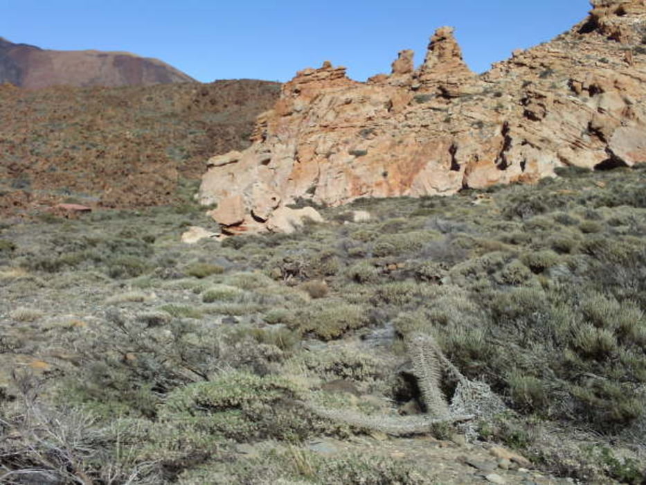
Direkt an der Parador National de las Canadas mitten im großen Krater neben der Straße.
GPS tracks
Trackpoints-
GPX / Garmin Map Source (gpx) download
-
TCX / Garmin Training Center® (tcx) download
-
CRS / Garmin Training Center® (crs) download
-
Google Earth (kml) download
-
G7ToWin (g7t) download
-
TTQV (trk) download
-
Overlay (ovl) download
-
Fugawi (txt) download
-
Kompass (DAV) Track (tk) download
-
Track data sheet (pdf) download
-
Original file of the author (gpx) download
More about the tour author
|
|
tazzo |
Add to my favorites
Remove from my favorites
Edit tags
Open track
My score
Rate