Login

Forgotten password?

Cookies have to be accepted!
Your browser's cookie functionality is disabled. Please enable this functionality.

Not a member yet?

Register now
Login

Available for registred users only

Log in to use this feature.

Forgotten password?

Cookies have to be accepted!
Your browser's cookie functionality is disabled. Please enable this functionality.

Not a member yet?

Register now
Filter
Categories
Advanced filters
  • Distance (km)
  • Height
Save filters Reset filter

TrackRank

QRCode

Technical data

Distance8,9 km Height135 m Way down134 m Duration02:00 h:m Date17.02.2013
Scores Author Landscape Fun factor Fitness Technique

Statistics

414 Views Scores 21 Downloads Average
Rate
  • Track data sheet
  • Directions
  • Downloads

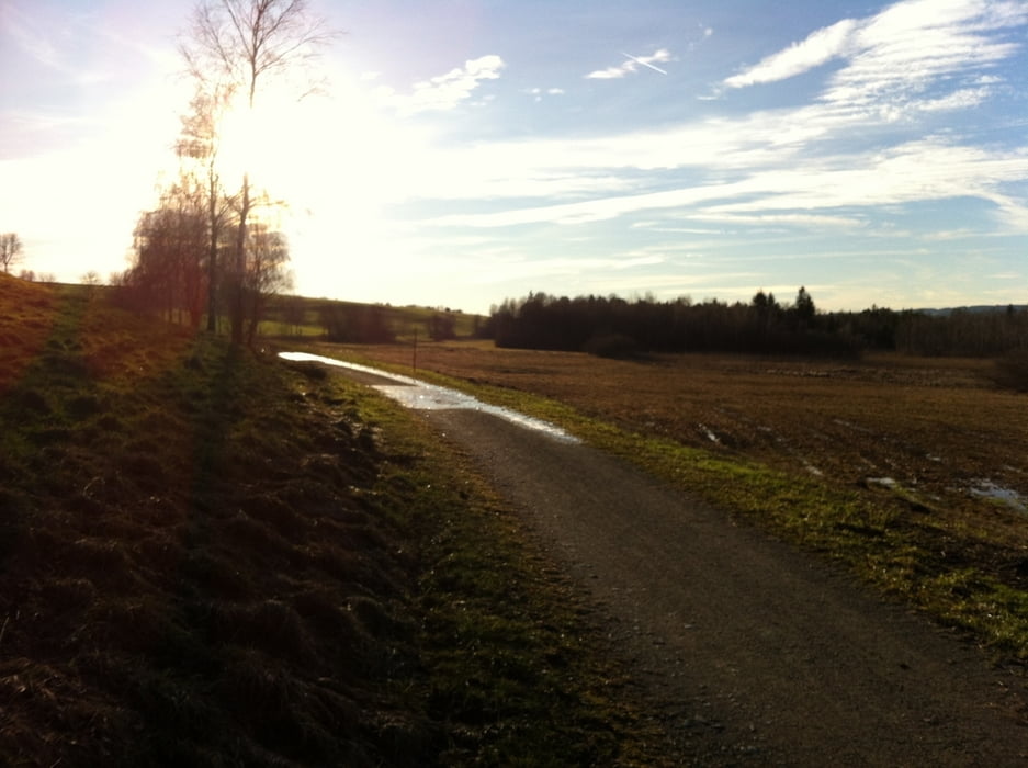
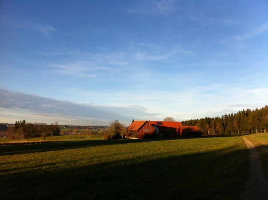
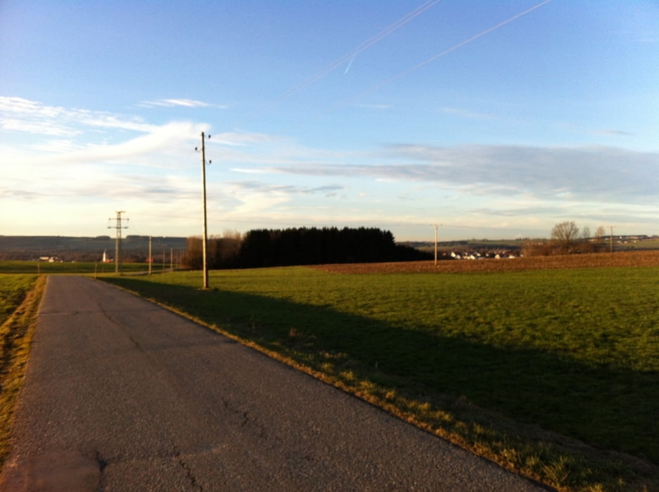
Start und Ende Reha-Klinik Bad Wurzach

Am Rande des Wurzacher Moors nach Albers, rechts hoch in den Stadtwald, zurück zu Klinik.

schöner Spaziergang auf Pfaden, Waldwegen und sehr wenig befahrenen Straßen.


Tour gallery

Tour map and elevation profile

  • Open Street Map
  • Google
Minimum height 649 m Maximum height 766 m Detailed view

More about the tour author

masterheizer
Member since 2011

Send private message

Comments

GPS tracks

Trackpoints
  • GPX / Garmin Map Source (gpx) download
  • TCX / Garmin Training Center® (tcx) download
  • CRS / Garmin Training Center® (crs) download
  • Google Earth (kml) download
  • G7ToWin (g7t) download
  • TTQV (trk) download
  • Overlay (ovl) download
  • Fugawi (txt) download
  • Kompass (DAV) Track (tk) download
  • Track data sheet (pdf) download
  • Original file of the author (gpx) download

More about the tour author

masterheizer
Member since 2011

Send private message
Share track
Add to my favorites
Remove from my favorites
Edit tags
My score
Rate
Track: Rund um Bad Wurzach-Albers
Type: Hiking
Distance: 8,9 km
Evaluated on:
Duration:
Day(s)
Hour(s)
Minute(s)
Score: Landscape Fun factor Fitness Technique