Login

Forgot your login?

Cookies have to be accepted!
Your browser's cookie functionality is disabled. Please enable this functionality.

Not a member yet?

Register now
Login

Available for registred users only

Log in to use this feature.

Forgot your login?

Cookies have to be accepted!
Your browser's cookie functionality is disabled. Please enable this functionality.

Not a member yet?

Register now
Filter
Categories
Advanced filters
  • Distance (km)
  • Height
Save filters Reset filter

TrackRank

QRCode

Technical data

Distance11,2 km Height1071 m Way down1078 m Duration04:00 h:m Date21.02.2013
Scores Author Landscape Fun factor Fitness Technique

Statistics

850 Views Scores 104 Downloads Average
Rate
  • Track data sheet
  • Directions
  • Downloads

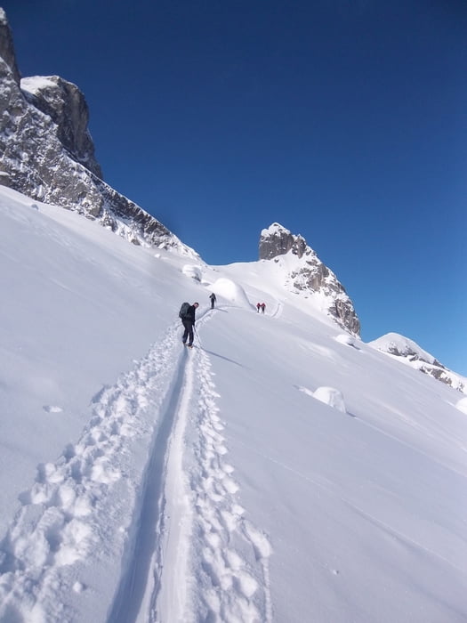
Von der Lindauer Hütte Richtung Drusator,dann oben rechts halten. Dann kurze Schlüsselstelle

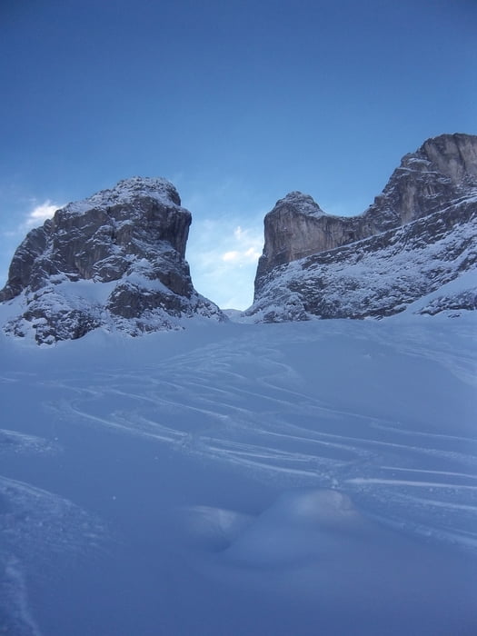
(Aufpassen) . Dann immer steil Bergauf bis Zum Gibpfel. Abfahrt burch den Tobel. Super Pulver,weil schattig immer.

Tour gallery

Tour map and elevation profile

  • Open Street Map
  • Google
Minimum height 1721 m Maximum height 2835 m Detailed view

More about the tour author

fatty
Member since 2009

Send private message

Comments

Start in Tschaguns am Staubecken.Wanderweg Lindauer Hütte ca.700hm-2,5std Aufstieg

GPS tracks

Trackpoints
  • GPX / Garmin Map Source (gpx) download
  • TCX / Garmin Training Center® (tcx) download
  • CRS / Garmin Training Center® (crs) download
  • Google Earth (kml) download
  • G7ToWin (g7t) download
  • TTQV (trk) download
  • Overlay (ovl) download
  • Fugawi (txt) download
  • Kompass (DAV) Track (tk) download
  • Track data sheet (pdf) download
  • Original file of the author (gpx) download

More about the tour author

fatty
Member since 2009

Send private message
Share track
Add to my favorites
Remove from my favorites
Edit tags
My score
Rate
Track: Drei Türme
Type: Ski touring
Distance: 11,2 km
Evaluated on:
Duration:
Day(s)
Hour(s)
Minute(s)
Score: Landscape Fun factor Fitness Technique